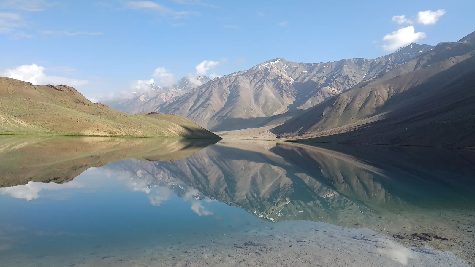
Spiti is the trip people describe afterwards in short sentences. Brown mountains with no trees, a river braiding across a flat valley floor, monasteries clinging to cliffs, and a night sky that one rider on a September loop said was clear at nearly every stop. It is also the trip where plans fail in boring ways: a landslide at a nala, a fuel pump with nothing in it, a headache on day four because the climb was too quick. This plan is shaped by those boring ways.
The direction matters most. Almost every traveller account we read, and the guides written by people who have driven the valley for years, say the same thing: go in from Shimla and come out over Kunzum to Manali, not the other way round. Coming from Manali takes you from about 2,000 metres to well above 4,000 in a day or two. Going via Kinnaur you sleep at 2,700, then 3,000, then 3,600, and by the time you reach Kaza your body has had a week to catch up. The high villages and the lake come after that, not before.
It suits couples, friends and fit parents who do not mind long days in a car. It does not suit anyone with heart or lung trouble, or anyone who needs to be sure of a hot shower and a signal every evening. The roads are slow and the days are built with room for a landslide.
From your pickup
Same trip, four starting points. Road times are real driving times; a long drive becomes its own travel day so nobody arrives wrecked.
Day by day
Day 1 · night in Sangla
Down the Sutlej to Sangla
Shimla to Sangla, about 230 km, a long day of eight to nine hours with stops
Leave Shimla early. Writers who started late learned why: one group set off at three in the afternoon after a car service and reached their first night stop in the dark, with heavy rain and fog between Rampur and Narkanda. Narkanda, at about 2,700 metres, is the natural tea stop, with apple orchards around it and cherries in early summer.
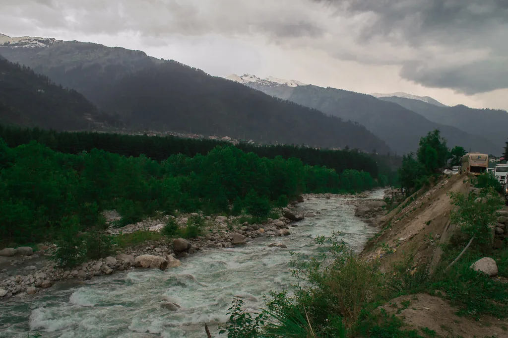
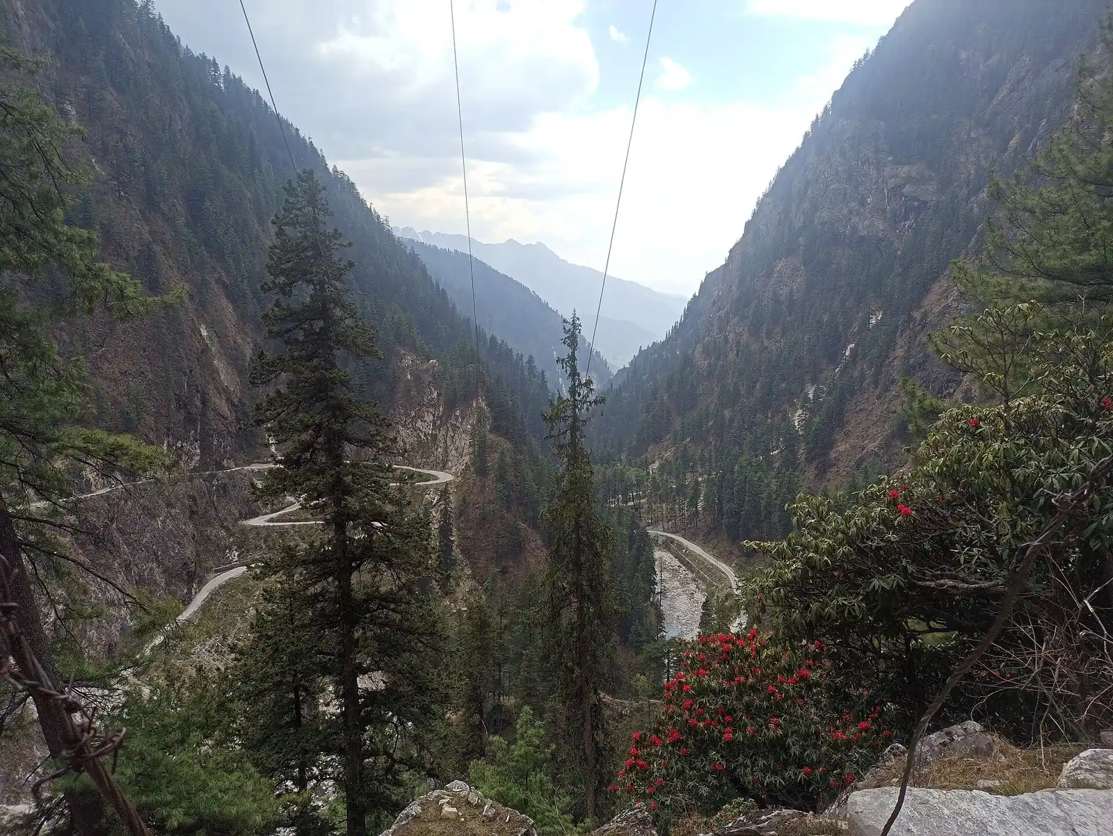
After Rampur the road drops towards the Sutlej, and the mountains begin to close in. Karcham is where the road to Sangla leaves the main highway, and the last stretch is narrow. Sangla sits in the Baspa valley, green, wooded and almost surprising after the dry country you will see later. Walk once along the river before dinner. Sleeping at this height is easy on the body, which is the point of tonight.
- Narkanda
- Rampur
- Karcham
- Sangla
- Baspa river
Day 2 · night in Kalpa
Chitkul in the morning, Kalpa by evening
Sangla to Chitkul, then back down and on to Kalpa, roughly 120 km in all
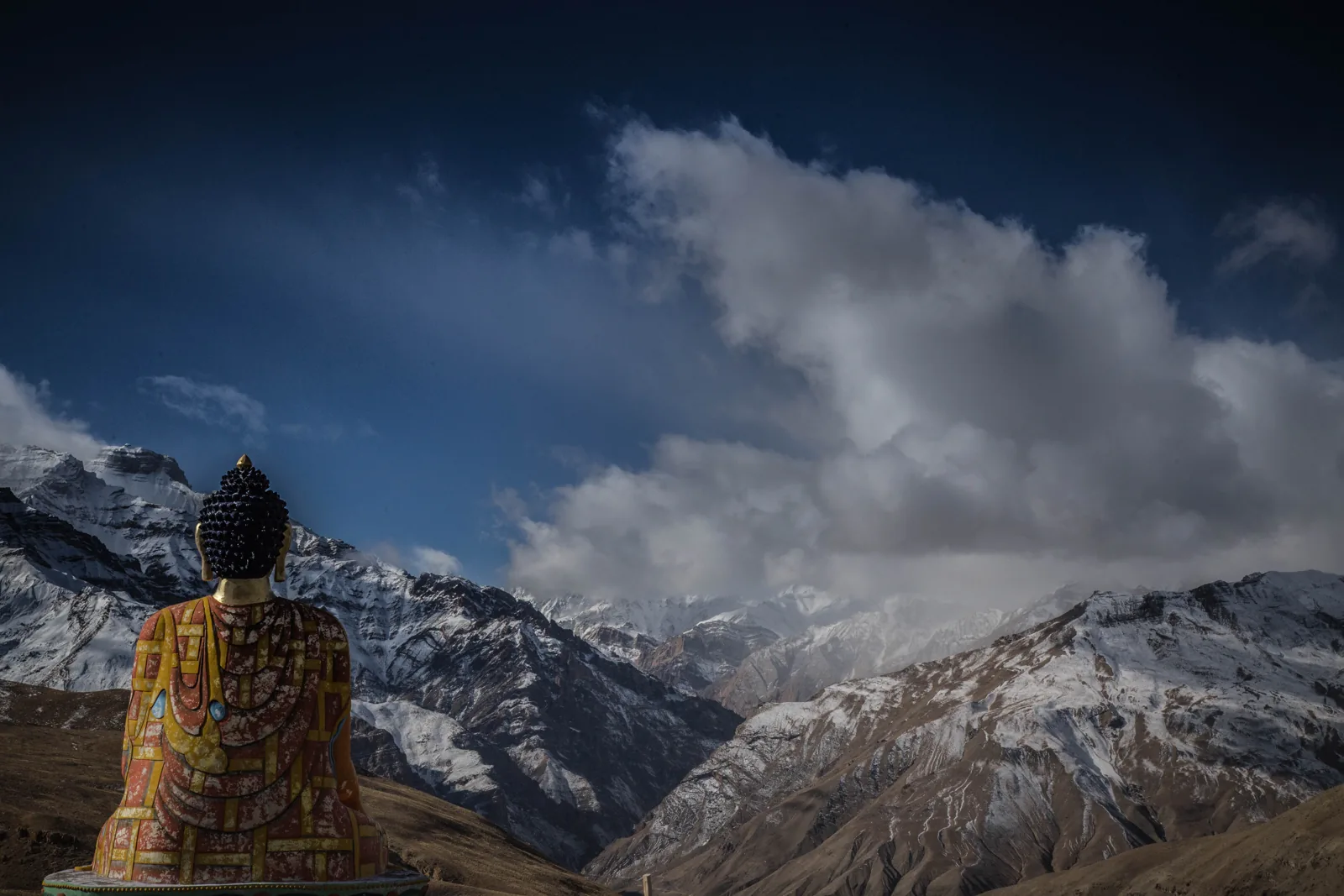
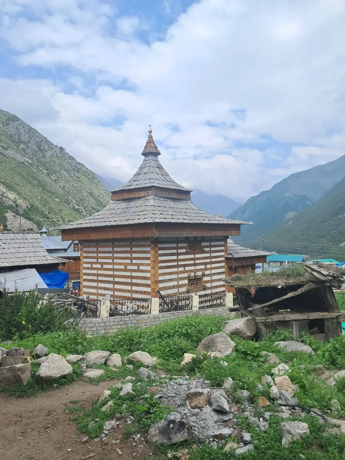
Start by seven. The road up to Chitkul is the last village before the Tibet border, and the surface above Sangla is the kind of thing a solo rider described as not good but worth it. Chitkul has wooden houses, a small temple, apple fields and the Baspa running through it. Go early: it is a dead-end village, so the only way to see it quietly is to be there before the day's cars arrive.
The afternoon is the drive back down to the main highway at Karcham and then up to Reckong Peo and Kalpa. Kalpa sits at about 2,960 metres, high enough for a proper view across the valley, and a solo rider reported very clear night skies here, and two friends in a rented car said cloud hid Kinnaur Kailash from Kalpa on their evening, so give it a second look at dawn.
Cash is the practical lesson of today. Reckong Peo is the last place with reliable banking before Kaza, so withdraw what you need for homestays and small cafes now.
- Chitkul
- Baspa valley
- Reckong Peo
- Kalpa
Day 3 · night in Nako
The dry side begins: Pooh and Nako
Kalpa to Nako, about 115 km, four to five hours
This is the day the landscape changes. Leave Kalpa early so you clear the stretch near Chango before noon, which is when the dust and construction traffic build. Near Khab two rivers meet, the Sutlej joining the Spiti, and one group described a steep, narrow zigzag with snow peaks on one side and golden hills on the other at sunset.
Nako is a village around a small lake at about 3,600 metres. Guesthouses are simple and basic. Do not plan a walk beyond a slow lap of the lake. Guides who write about the valley say the first nights above 3,500 metres are when headaches start, so take the evening gently.
Eat early and sleep early. Nights are properly cold even in summer, and the wind picks up after dark.
- Pooh
- Khab confluence
- Nako lake
Day 4 · night in Kaza
Malling Nala, Tabo and the valley floor
Nako to Kaza via Tabo and Dhankar, about 120 km, with a 1 to 2 hour buffer
Malling Nala comes early, and it is the stretch every account warns about. Landslides here are unpredictable, so the driver will leave early and check the road before committing. Give it the buffer a published itinerary suggests and treat any wait as scenery time.
Gue monastery lies about nine kilometres off the highway and houses a mummified monk; one travelling group found the room had to be opened by a villager, so do not expect fixed hours. Tabo, with its old mud-walled temples and painted interiors, deserves an hour or more, and the caves above it reward the climb for the view. Dhankar sits on a cliff above the confluence of two rivers and is an optional eight-kilometre detour that visitors often say they were glad they took.
From Tabo to Kaza the road is smooth and quick, which comes as a relief. Kaza is the valley's largest town, at about 3,800 metres, and you will sleep here for two nights. Refill cash if an ATM works, but treat it as a bonus, not a plan.
- Malling Nala
- Gue
- Tabo
- Dhankar
- Kaza
Day 5 · night in Kaza
Key, Kibber and Chicham
A day near Kaza lets the body settle before higher ground. Key monastery, about twelve kilometres away, stands on a hill at about 4,166 metres and is the picture on most Spiti covers. Go in the morning. One rider found renovation work meant the monastery could not take overnight guests, so day visits are the norm.
From there it is a short drive to Kibber, a high village with stone houses, and onward to the long bridge at Chicham, which hangs high above a gorge. One Outlook Traveller writer says the Losar to Chicham stretch is best in late afternoon light.
Walk slowly, drink water and skip alcohol tonight.
- Key monastery
- Kibber
- Chicham bridge
Day 6 · night in Kaza
Langza, Hikkim and Komic
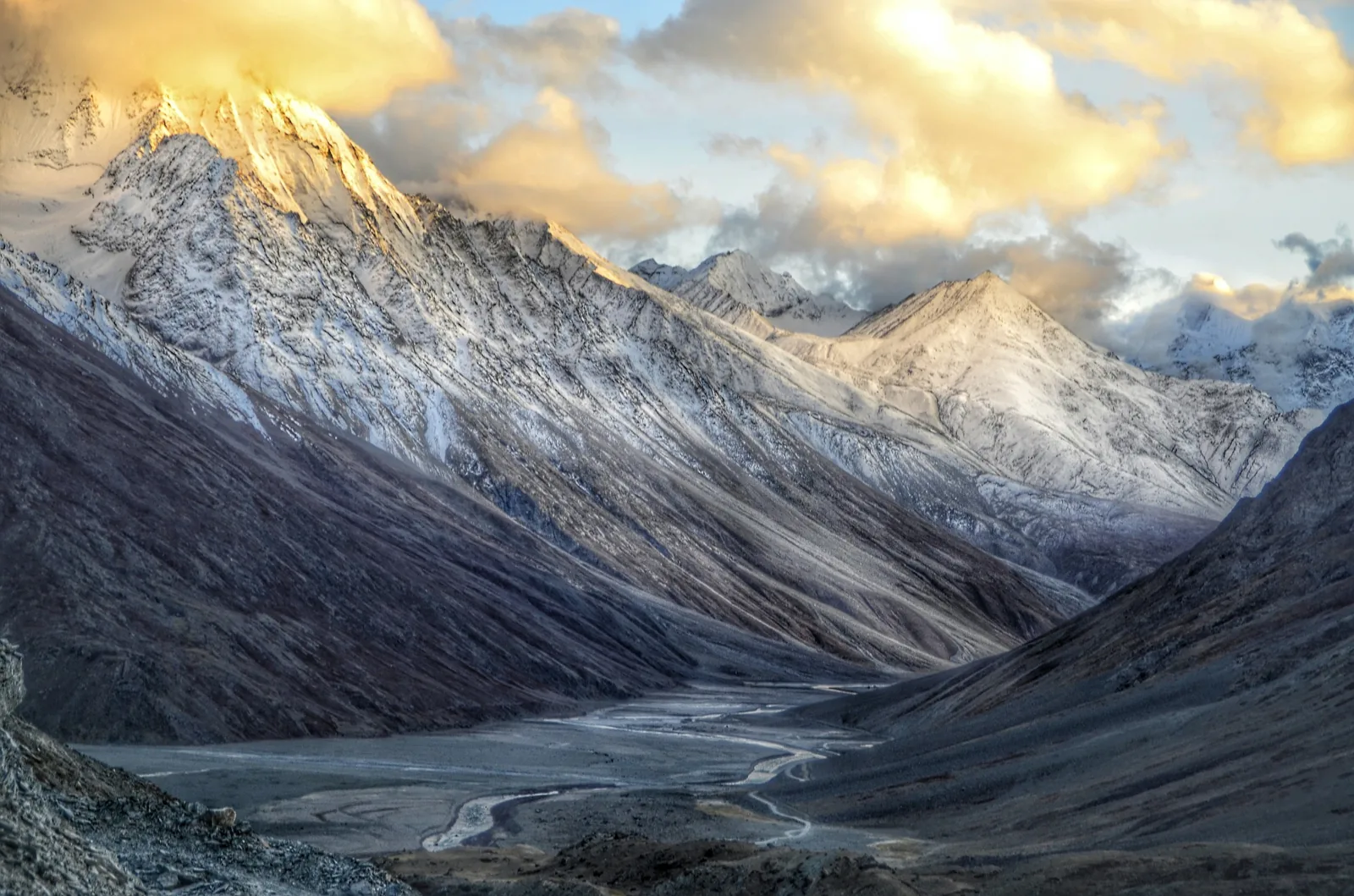
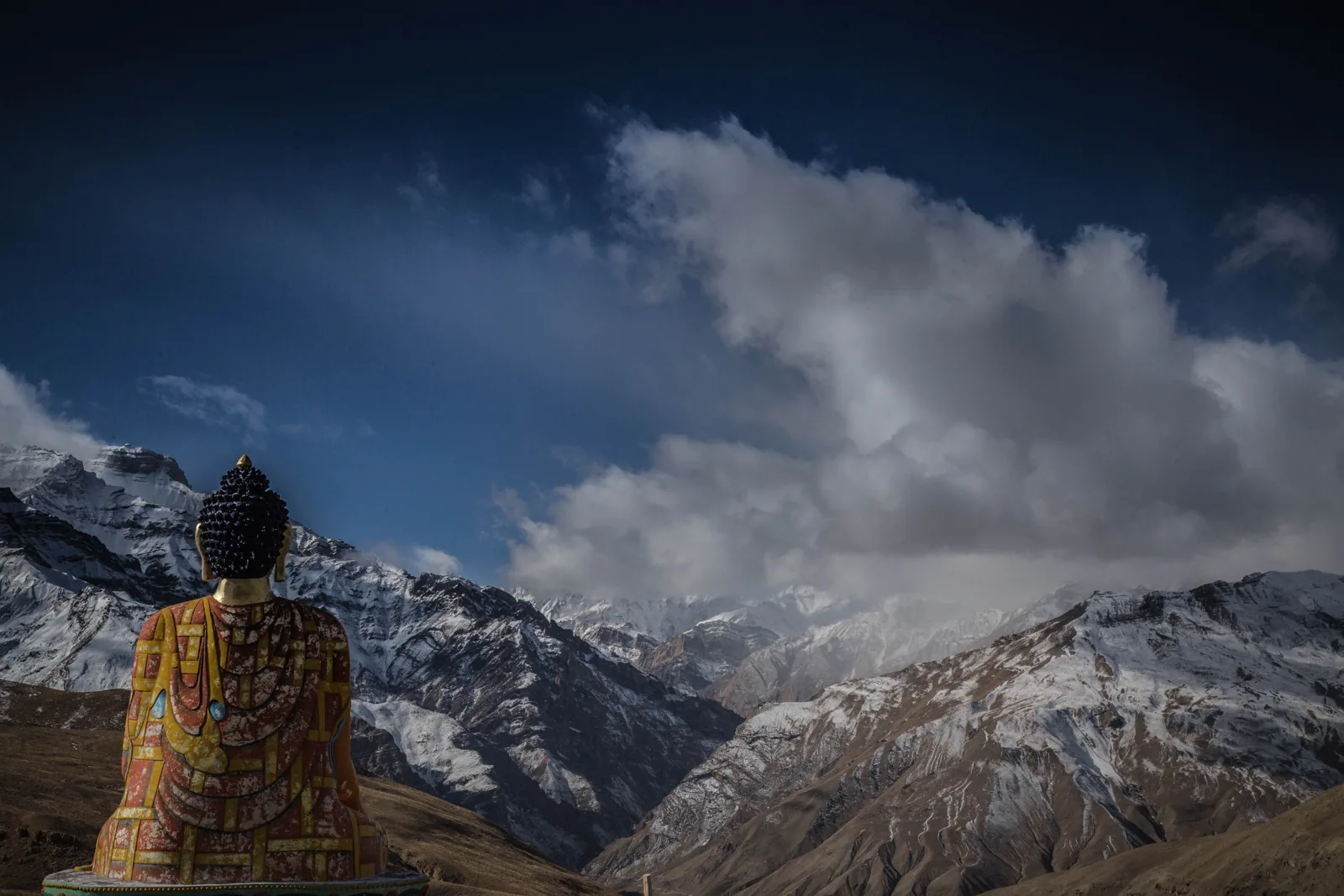
This is the loop writers keep calling the most photogenic in the valley, and one adds that skipping it is a mistake. Langza has a large Buddha statue facing the peaks and fossil shells on the slopes, Hikkim has a small post office that people post cards from, and Komic sits above 4,500 metres, among the highest villages anywhere in the world with a motorable road.
Budget most of a day for it. One group of friends reported a flat tyre on a slushy stretch like this, with no spare and no repair shop for miles, so insist your car carries two spares. Another pair drove thirty kilometres near Komic without meeting a single car, which is lovely until something goes wrong.
Mobile signals are weak up here, so settle the day's plan before you leave Kaza. Lunch is usually a simple homestay meal. Be back in Kaza, lower down, by evening.
- Langza
- Hikkim post office
- Komic
Day 7 · night in Chandratal
Over Kunzum to Chandratal
Kaza to Chandratal, about 75 km, three to four hours
Check road status at Kaza the evening before; people who rely on the police post report that is the quickest reliable answer. The route climbs past Losar and crosses Kunzum Pass at 4,551 metres. Outlook Traveller calls Kunzum one of the highest and trickiest motorable passes, so keep the stops short and breathe slowly at the top.
From the Batal stretch a short side road leads towards the lake. Lakeshore camping is no longer allowed, so camps are a few kilometres away and you walk or drive the last bit. The lake changes colour with the light: pale in the afternoon, deep blue at dusk. Plan to arrive by early afternoon, because the weather can turn quickly and one rider was told to leave early the next morning because of a forecast.
Nights at the camp are cold, close to or below freezing in autumn, and the stars are the reason to stay. Be in bed by nine and do not stay out late if you feel any heaviness in the head.
- Losar
- Kunzum Pass
- Chandratal
Day 8 · night in Manali
Batal, Gramphu and the tunnel to Manali
Chandratal to Manali, about 115 km, a slow half day
This is the roughest day on the road. The track from Chandratal to Batal and Gramphu is rough and has many water crossings: a solo rider counted more than fifteen, one deep enough to flood a motorcycle engine. In a car the crossings are fine with a driver who knows them, which is why this stretch is not for a low sedan.
There is no network between Gramphu and Losar, and no fuel between Kaza and Manali, so the day runs on what you carry. The drive ends through the Atal Tunnel, and the change from bare rock to green Kullu valley in minutes is what most writers remember.
Manali tonight feels almost tropical after nights at altitude. Hot water and a loud town are a pleasant shock.
- Batal
- Gramphu
- Atal Tunnel
- Manali
Day 9 · night in Manali
A slow morning in Manali
The loop ends with an easy day. Old Manali is quieter than the Mall, with mud-built houses and woollens. Vashisht has a carved wooden temple and hot springs with separate bathing for men and women. Hadimba temple is a wooden shrine in the cedars; one blogger who went in the evening found a queue and no photography allowed inside.
Looking back, circuit travellers say the last day should stay empty: sort photographs, wash off the road dust, buy woollens. If you have a flight or train, your driver can drop you in town or at Bhuntar, depending on timing.
- Old Manali
- Vashisht
- Hadimba Temple
Why the direction is not a detail
Take a guide's advice and a rider's account side by side and they agree. An author who has travelled Spiti for more than ten years lists entering from Manali as the first mistake, because the leap into thin air in a single day risks mountain sickness. He also says sleeping beside Chandratal on the way in is the other classic error, since the lake is at about 4,300 metres. In this plan you reach it only after two nights in Kaza and a slow week of gentle gains.
Symptoms to watch for are headache, nausea, breathlessness and broken sleep. If they do not ease with rest and water, the answer is to go down, not push on.
Money, signal and fuel
Spiti is a cash place. Kaza has only a couple of ATMs and they run dry, and some homestays in the higher villages take cash only. Take what you need from Shimla, Rampur or Reckong Peo.
BSNL has the widest signal and Jio postpaid generally works in Kaza, but villages such as Hikkim and Komic often have none. Download offline maps before Rampur. Fuel is scarce: one rider found the Kaza pump empty after a landslide, so the driver tops up at each chance.
When the road closes
The Manali side of the loop is a summer road. Outlook Traveller describes it as usually open from about June to October and often shut by late October after the first heavy snow. The Tribune reported that in late November 2025 the district authorities closed the Gramphu to Losar stretch until further notice because of black ice and cold. After that Spiti is reached only from the Kinnaur side.
That is why September and early October are the favourite months: clear sky, calmer roads and the lake still reachable. July and August bring landslides, so we keep a spare day in mind.
What the price covers
- One car and driver from your pickup to the final drop
- 10 nights in hand-picked stays
- Breakfast and dinner every day
- Local guide at the main sights
- Tolls, parking and fuel
- Lunches
- Monument tickets, permits and activity fees
- Personal shopping
Questions people ask
Do I need a permit to visit Spiti?
Indian citizens do not need an Inner Line Permit for the regular circuit, but must register online through the state's e-Aagman system and show photo ID at the Sumdo checkpost. Foreign nationals need a Protected Area Permit for stretches near the border. Rules change, so check the official portal a few days before leaving.
Is nine days enough, and can it be shortened?
Nine is a comfortable fit. Guides who know the valley say five or six days is the minimum if time is tight, but that cuts the acclimatisation nights and the Langza loop, which are what make the trip work.
What happens if the road at Kunzum is closed?
The driver checks status the evening before. If Kunzum is shut we come back out the way we came in through Kinnaur to Shimla, or wait a day if the closure is short. We would rather lose a day than push through black ice or fresh snow.
Is it safe for a 60-year-old?
Many older travellers do the loop, usually with a doctor's approval and an unhurried pace. The slow climb through Kinnaur helps. The hard parts are the cold nights, the long days and the rough stretch beyond the lake. Anyone with a heart or lung condition should skip the night at Chandratal.
Can we begin from Delhi, Agra, Mathura or Jaipur?
Yes. Laladham collects you from any of those and drives you to Shimla, a separate travel day that is added to this itinerary. Once in Shimla the same car and driver stay with you until Manali.
What should we pack?
Warm layers even in July, since Kaza nights can fall to single digits and Chandratal to zero. Add a good jacket, sun cream, a hat, sunglasses, a water bottle, lip balm, any regular medicines, a power bank and cash in small notes. Torches help at the camp.
- Kunzum Pass and the Gramphu to Losar road: open dates change every year; the district authority closed it from 25 November in 2025.
- e-Aagman registration and Sumdo checkpost rules, plus the entry charge at Chandratal: confirm on the state portal before leaving.
- Fuel at Kaza and Pooh, and ATM cash in Kaza: both have run out in traveller reports.
- Lakeshore camping at Chandratal was reported banned, with camps some kilometres away: confirm where you will stay.
 4 days
 4 days
 5 days