The practical trouble is that official pages here disagree with each other about heights and distances, which is common in the hills. This guide gives the ranges and says which is which, so you can plan stages by the larger number.
Reckong Peo: the base, not the destination
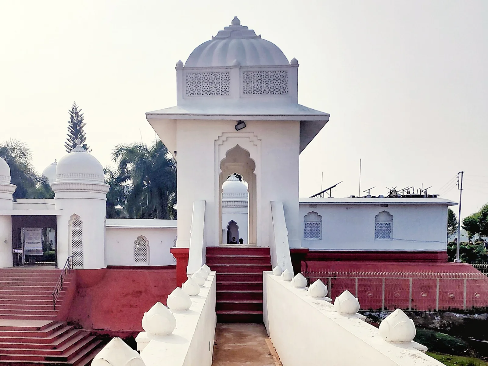
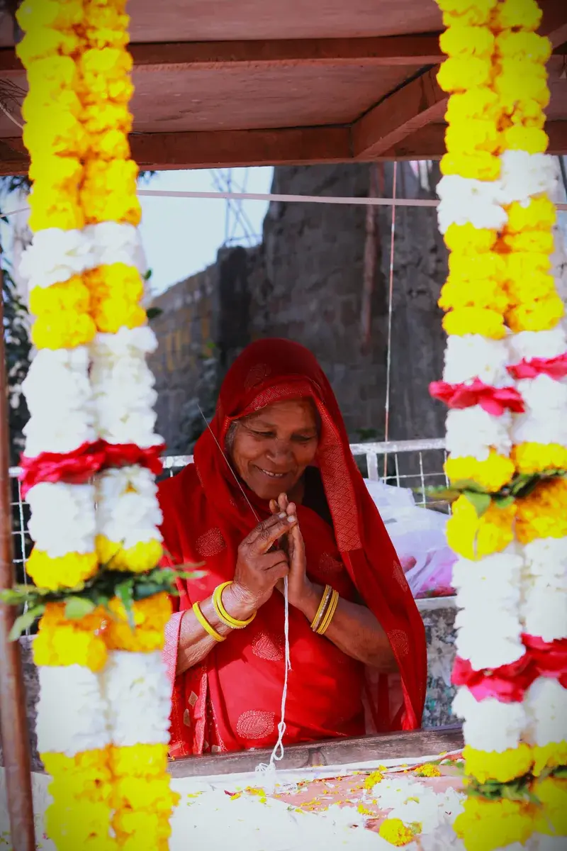
Reckong Peo is the district headquarters, listed at 2,290 metres on one official page and 2,670 on another, and about 235 km from Shimla. Use it for markets, fuel and cash, then move on. Locals call it Peo. It has a Chandika temple for Kali and the Brelengi Gompa, a Buddhist monastery with prayer flags and a panoramic view, and the markets sell handwoven shawls, coloured caps and woollens.
The road in is the scenic part. Allow for it, because in winter icy stretches can slow everything down, and the pleasant months run from April to June and again after the monsoon.
Kalpa and the mountain that changes colour
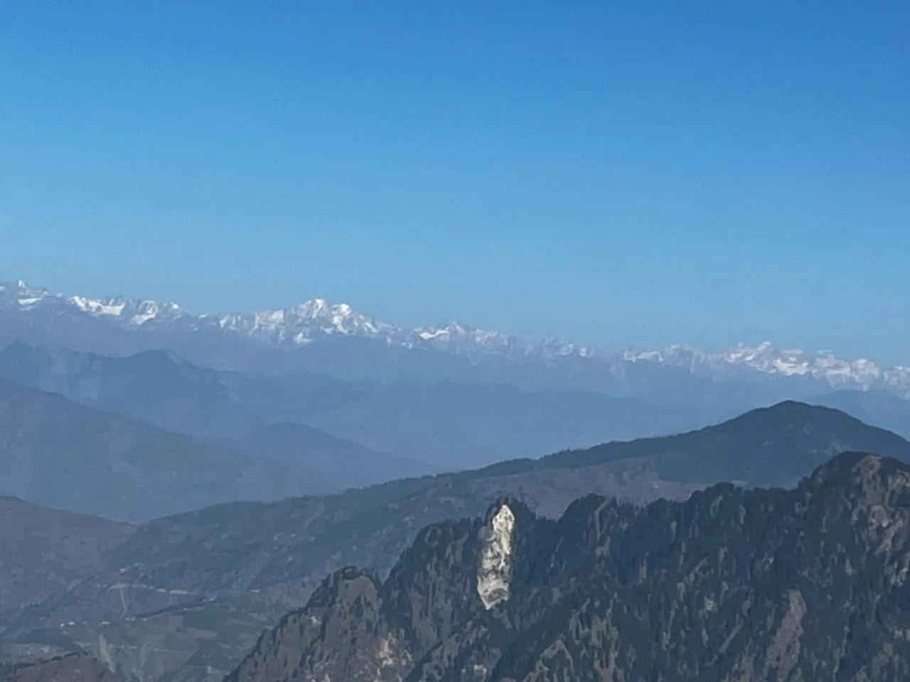
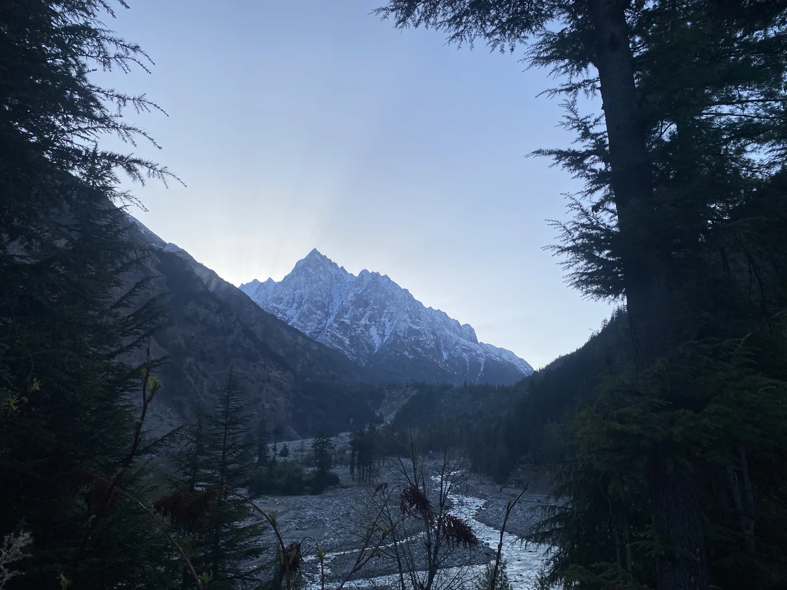
Kalpa, listed at 2,759 metres, sits above Peo, about 7 km by one page and 13 to 14 by another, which is exactly the sort of conflict worth ignoring and driving. It looks across to the Kinnaur Kailash range, about 6,050 metres high, believed to be Shiva's winter home. Orchards, pine forest and sunsets over the peaks fill the evening.
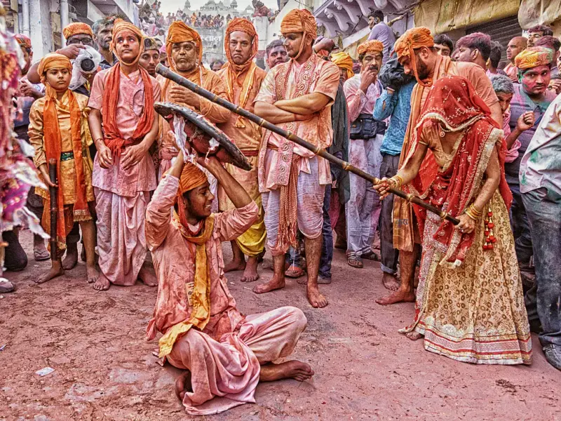
Nearby are hamlets that show traditional life, such as Chango, Leo and Kanam, and the Bhaba Valley for a trek. A viewpoint called Suicide Point gives dramatic views, and the tourism page advises caution there. Kothi, an old village slightly below Kalpa, is a gentler stop.
The Baspa valley: Sangla, Batseri and Chitkul
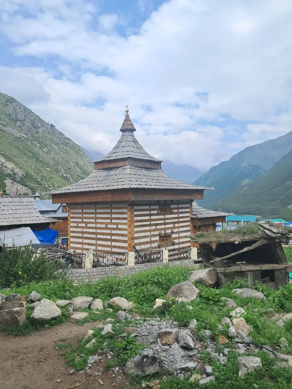
Sangla is about 8,900 feet up on the Baspa, with trout in the river, apple orchards terraced down the slope and homestays or orchard camping near the water. The walks from here are the real pleasure. Batseri is about 8 km away, and from its slate and tin roofs a 1.5 hour walk through cedar and past prayer wheels reaches a glacier point where ice spans a narrow gully. The Badri Narayan temple at Batseri, rebuilt after a 1998 fire, has detailed wood carvings and dragon pillars, and an older Bodh temple stands beside it, weathered.
A longer day takes you east 11 km up the valley to Rakcham through blue pine and birch, about five hours along the Baspa, and there is a full-day walk to meadows above Sangla. Roghi has a cobbled main street where people stop for chai. Chitkul, the last roadhead, is about 25 km from Sangla at roughly 3,450 metres, at the old Indo-Tibetan frontier, with carved wooden houses and the Mathi Devi temple. From there an easy level walk of about an hour reaches the last ITBP post, where civilians stop. Winters at that post can fall to minus 40.
Nako and the road to Spiti
East of Kalpa the land goes dry. Nako, at about 3,663 metres, has a lake, a small monastery and a compact village of wood and clay houses, listed from 102 to 119 km from Peo or Kalpa depending on the page. It is the usual first halt where acclimatisation begins, and the start of the climb to Reo Pargial for climbers. A stay here fits neatly into our Spiti loop, where Kinnaur is the slow opening act.
Mobile coverage is good at Peo, Kalpa and Sangla and patchy beyond them, so download your maps before you go.
Food, apples and festivals
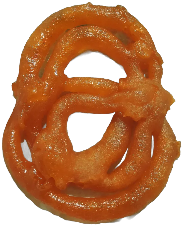
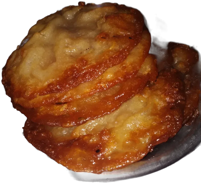
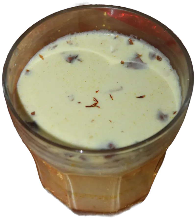
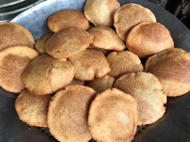
Kinnauri food is sidu, a steamed wheat bread stuffed with split black gram, dry fruits and poppy seeds served with ghee and tomato chutney, with madra, a chickpea curry, and thukpa. Dham is the festival meal. Apples are the district's pride; one village is reported to have sold fruit worth Rs 5 crore in a single season, and the orchards line the walking paths. The Fulaich fair is held in mid-September, and spring blossom and the autumn harvest are the two seasons that photograph best.
Getting there from Delhi, honestly
Delhi to Chitkul by road is reckoned at 18 to 20 hours by the tourism page, and Shimla to Chitkul is listed as 7 to 8 hours. In practice you break the journey at Narkanda or Rampur, and Sangla is roughly eight hours from Shimla. The nearest airport and railhead are at Shimla, with Chandigarh as the wider option, and the Kalka to Shimla toy train takes five to six hours if you want it. Do not drive it in a day.
When to go, what to carry
The milder seasons are the easy ones. Avoid the monsoon, when landslides cut the road, and expect snow and icy surfaces from December to February. Carry layers for cold nights, medication, cash, and enough days to acclimatise, since you are above 3,000 metres from Nako on. The long treks that run toward the border need prior permission, so ask before planning one.
Let Laladham plan it
Laladham picks you up in Delhi from your home, hotel, the airport or a station and runs a complete Kinnaur trip with a driver who knows NH5, with each valley planned as its own stage, stays arranged and homecooked food where it can be found. Share your dates on the [book page](/book) and ask for a quote.
Questions, answered
What is Kinnaur best known for?
Apple orchards, the Kinner Kailash range seen from Kalpa, the Baspa valley and Chitkul, the village where the road finally stops.
How high is Chitkul?
About 3,450 metres, according to the tourism page.
How far is Sangla from Chitkul?
About 25 km along the Baspa valley road.
When should I go?
Winter brings snow, so plan for the milder seasons.
Is Kinnaur on the way to Spiti?
Yes, NH5 through Kinnaur is the Shimla side route into Spiti, via Reckong Peo and Nako.
Do I need permission to trek in Kinnaur?
Border-side routes can, so ask before you plan one.