What you get instead is a long ridge with old British houses and big gardens, monasteries, nurseries full of orchids and cacti, and a Kanchenjunga horizon that shows up whenever the cloud decides to lift.
Getting your bearings
The town sits at roughly 1,250 m according to the national tourism portal, and the district administration puts the district at about 1,300 m. It spreads over the saddle of a ridge, with Deolo as the high point at one end and Durpin Dara at the other. Orient yourself by those two and nothing else will confuse you.
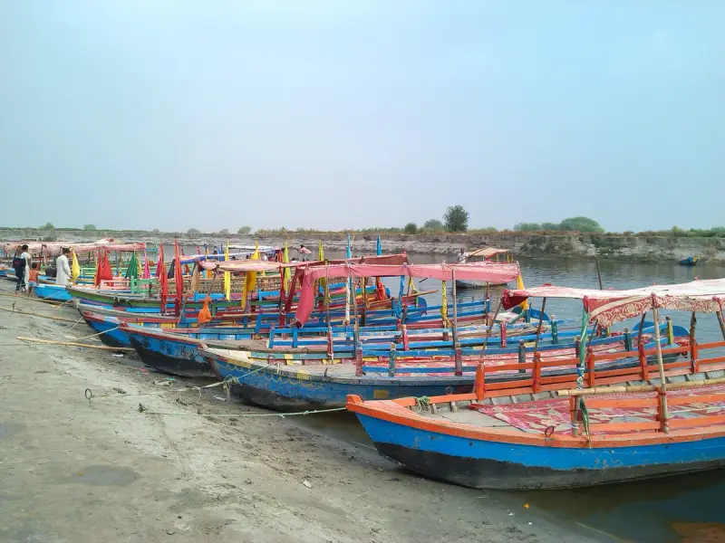
Bagdogra airport is about 75 km away and New Jalpaiguri station about 72 km. From Siliguri the drive is two to three hours depending on traffic, and the road follows the Teesta for a stretch before climbing. The name comes from the Lepcha Kalim-pung, said to mean flat lands, a surprising claim for a town on a ridge, though the area around it was settled by Lepcha and Bhutia families long before the British came.
Deolo: the highest point in town
Deolo Hill stands at 1,704 m, the highest spot in Kalimpong, and three water reservoirs sit on it, two of them supplying the town's drinking water. The summit has a small park with flowers, a government-run restaurant with rooms, a Buddha figure on a large rock, a modest Shiva temple and a larger Hanuman temple.
The tourism portal gives the hours as 6 am to 6 pm. Aim for the first hour, when the western Sikkim peaks, including Kanchenjunga, have the best chance of standing clear of cloud. Paragliding and tandem flights launch from here too, weather permitting.
Durpin Dara and the colonial lane
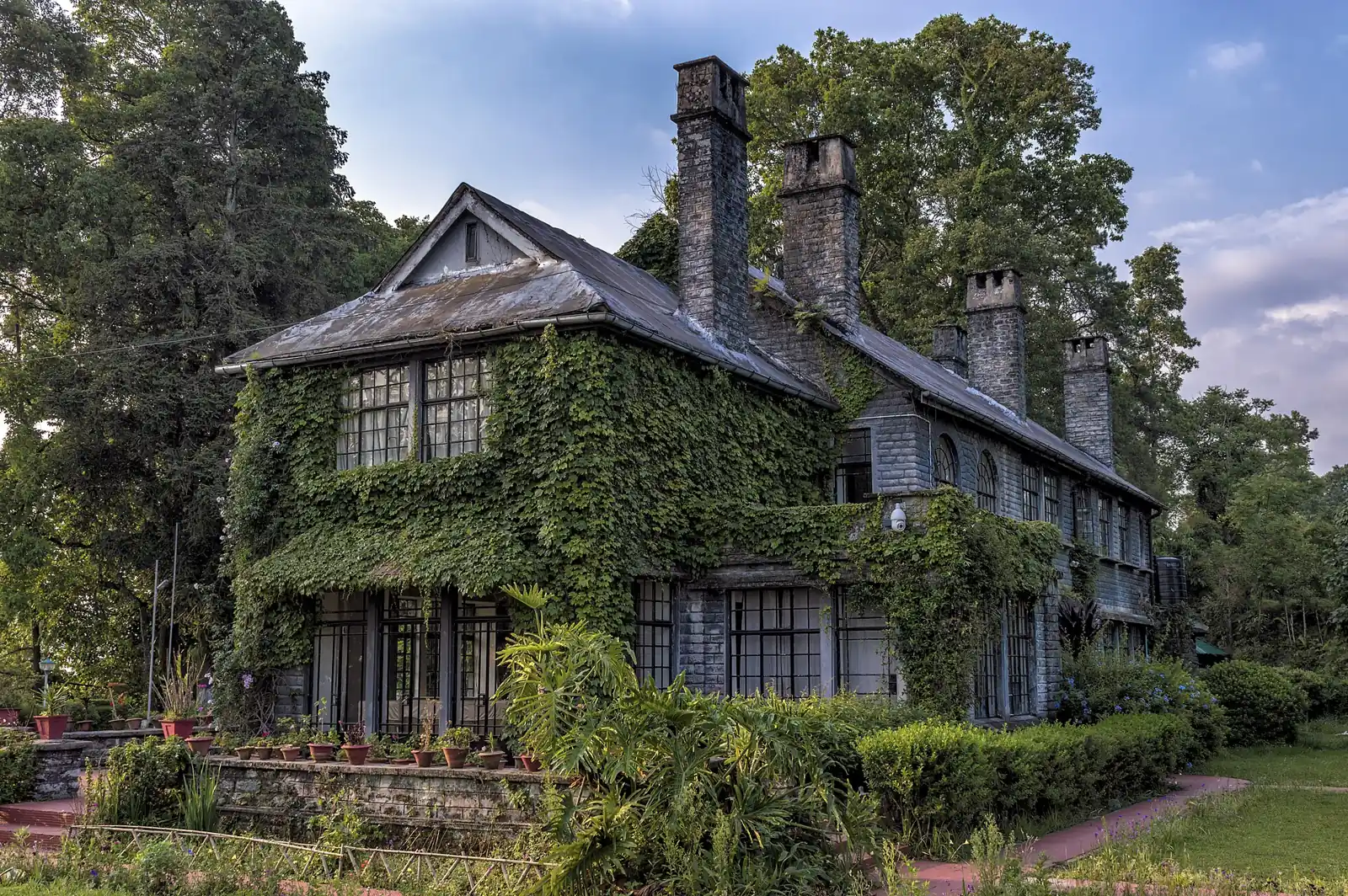
The drive toward Durpin Dara runs along Rinkingpong Road, past houses with big gardens, sloping roofs, chimneys and gables that look lifted out of an English village. Morgan House, a stone house with glass windows and chimney stacks, now serves as a government tourist lodge, and the road beside it faces an army-run golf course.
The name Durpin is said to come from the Nepali word for telescope. At the top, the Zang Dhok Palri Phodang monastery, built in the mid-1970s and consecrated by the Dalai Lama, overlooks a wide field. On a clear day guides there will pick out Siliguri in the plains, tea slopes, the Teesta, and even the line of the Nathu La.
Dr Graham's Homes
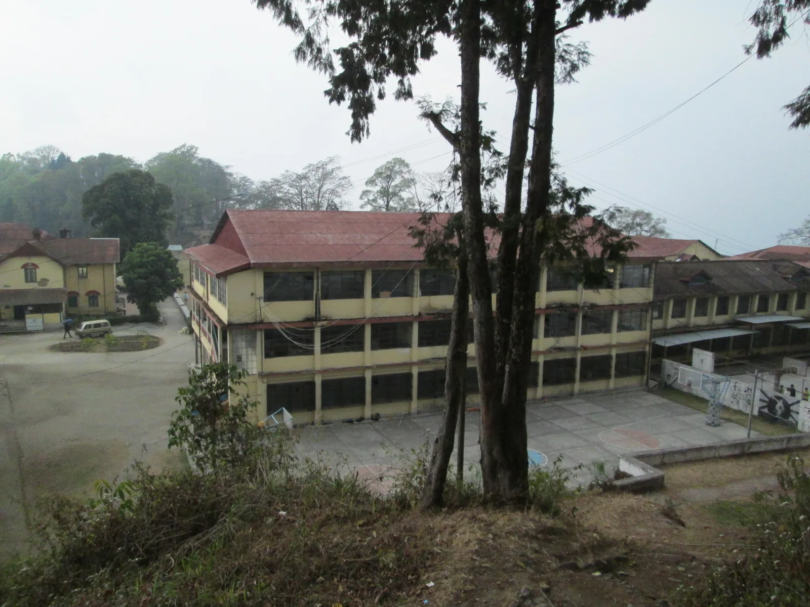
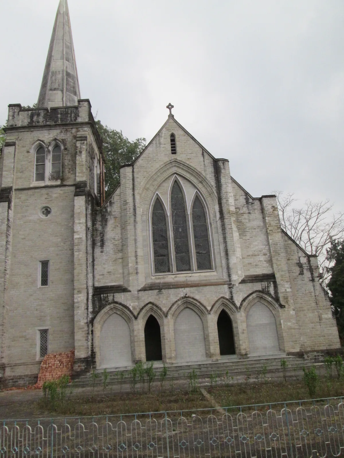
The institution below Deolo began as an orphanage in 1900 and grew into a school campus on about 500 acres, with a bakery, poultry and a dairy. It was started by a Scottish clergyman, the Rev Dr J.A. Graham, for poor Anglo-Indian children from tea gardens and Calcutta. A chapel with a pointed spire is one of the campus's easiest landmarks to recognise.
A Tribune feature recorded in 2002 that tourists were welcome, but access can change, so call the office before you set off. Treat it as a school first and a sight second.
Nurseries and the bazaar
Kalimpong's mild climate and elevation made it a nursery town. Official and press sources agree that orchids, cacti and ornamental plants are the local speciality. The Cactus Nursery, the passion project of the horticulturist Sukra Mukhia, is listed with over 3,000 kinds of cacti and succulents.
The market is the other half. Nepali, Tibetan and Bhutanese traders mix there, and the traditional haat days bring Lepcha and Bhutia hill people to sell their goods. Narrow roads and the motor stand make it chaotic, so walk it instead of driving through.

A day out to Lava and Loleygaon
Lava, about 35 km from Kalimpong at roughly 7,160 ft, is reached by a forest road with pine clearings along the way. A small museum on local flora, fauna and hill life is there if the weather turns. Loleygaon lies another 20 km on at a lower altitude, around 4,970 ft, and is known for a canopy walk, a suspended wooden path that sways as you cross.
Plan the pair as a full day and start early. The official portal describes them as an hour apart with a drive that feels remote, so carry water and a jacket.
When to come and what to expect
Temperatures on the tourism portal run from about 4 to 19 degrees Celsius in January to 15 to 28 in midsummer, so the town never gets harsh heat. Rafting on the Teesta is based at Teesta Bazaar, about 45 km away, with rapids graded II to IV; the water suits it from March to June and September to November.
Monsoon brings landslides and cloud. If you want the mountains, choose October to early December or March to May. Keep a half day free as buffer for road delays around Sevoke.
Laladham from Delhi
Kalimpong is far from Delhi, so most travellers fly to Bagdogra or take a train to New Jalpaiguri. Laladham handles the whole trip: pickup in Delhi from the airport, station, home or hotel, the onward car with a driver who knows hill roads, stays, and day plans for Lava, Loleygaon and the ridge. Send a note through the [book page](/book) and we will come back with a quote.
Questions, answered
How far is Kalimpong from Siliguri?
From Siliguri, a taxi or shared vehicle takes the better part of a morning.
What is the best view point in Kalimpong?
Deolo Hill, the highest point at 1,704 m, and Durpin Dara on the opposite end of the ridge both give Kanchenjunga views on clear days.
Is there river rafting near Kalimpong?
Yes, the rafting centre is at Teesta Bazaar. Spring and post-monsoon water levels are the favourable ones.
How many days do I need?
Two nights cover the ridge, the nurseries and the forest drive east. A third night helps if you want a Teesta rafting trip.
Can Laladham arrange Kalimpong from Delhi?
Yes. We handle the pickup in Delhi, the journey to Bagdogra or New Jalpaiguri, the car and stays. Ask for a quote.