There is a right order, a right season and a right pace. If you get those three things in place, the rest is largely devotion and a bit of weather luck.
Which Char Dham?
The phrase is used for two sets. The grand one, laid out in the old texts, stretches across India: Badrinath in the north, Dwarka in the west, Puri in the east and Rameswaram in the south. The one most people mean today is the Himalayan circuit of Uttarakhand, the Chhota Char Dham, and this is what we describe here.
When the doors open
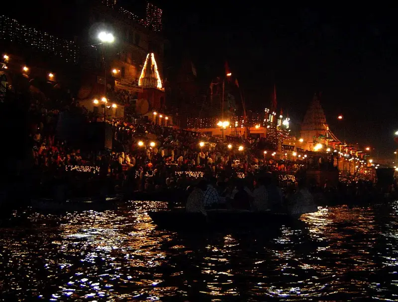
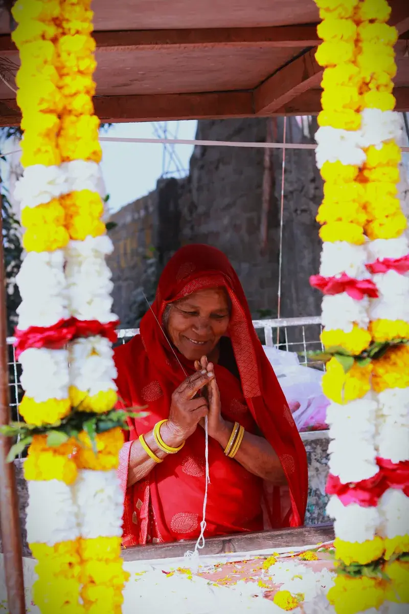
The shrines close for winter under snow, and the idols are carried down to lower villages. The portals usually open around Akshaya Tritiya, in late April or May, and close in the autumn, between the days after Diwali and around Kartika Purnima in November depending on the shrine, though the exact dates are announced each year by the temple committees. May and June are the busiest, the monsoon months of July and August bring landslides, and September and October are clear and calm.
The traditional order, west to east
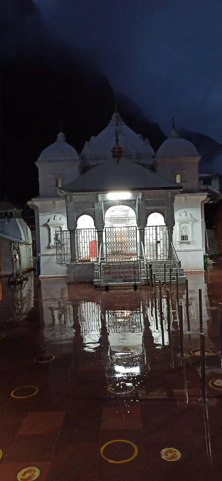
Seekers go from Yamunotri to Gangotri, then Kedarnath and finally Badrinath, tracing the rivers from west to east. This order also fits the roads, which run through Barkot, Uttarkashi, Guptkashi and Joshimath, so you rarely retrace your steps.
How the roads behave
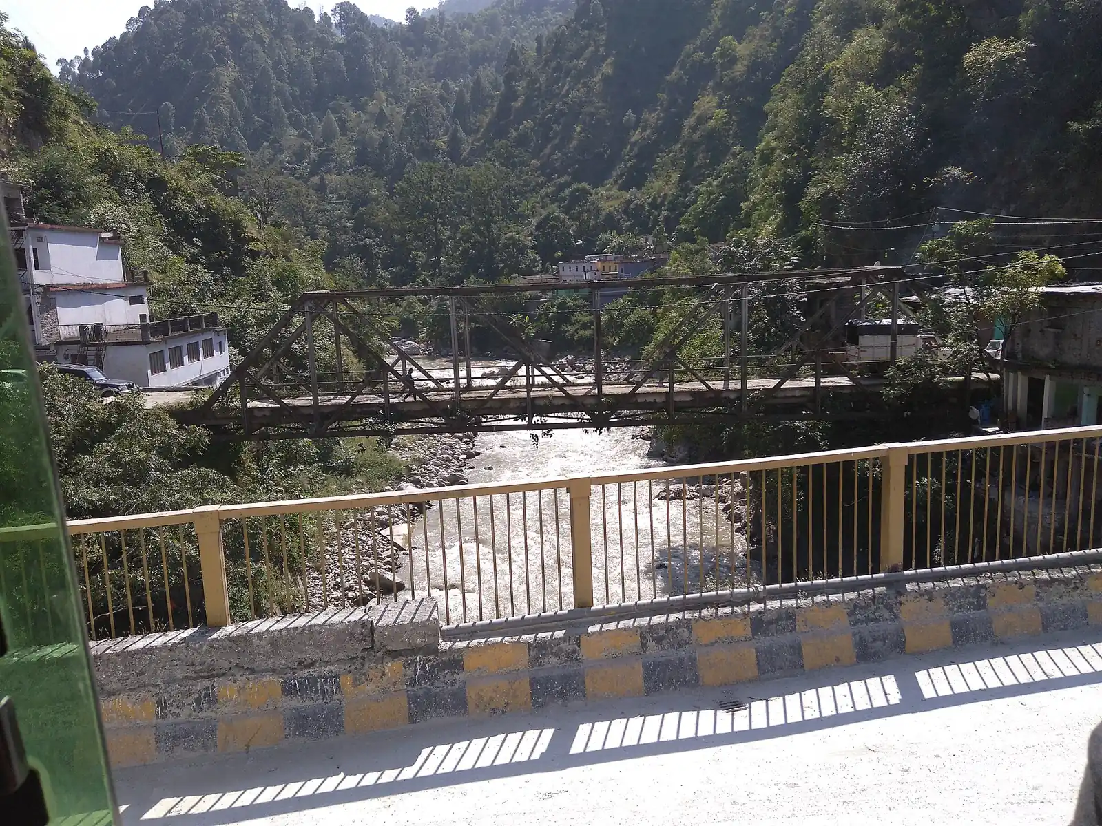
Mountain roads in Uttarakhand are one lane in places, with sharp bends and sudden stretches of gravel after rain. Travel in daylight, start early, and accept that a 100 km stretch may take five hours. Convoys are sometimes held for road clearing, and the police may limit vehicle movement on certain hours. A driver who knows the hill roads is worth more than any app, and a calm schedule beats a tight one.
Yamunotri
The source of the Yamuna, the sister of Yama in the old stories. The motor road ends at Janki Chatti, and from there a climb of about six kilometres leads to the temple, which you can do on foot or hire help. Hot springs near the temple are used to cook rice for prasad. Allow half a day up and half a day down.
Gangotri
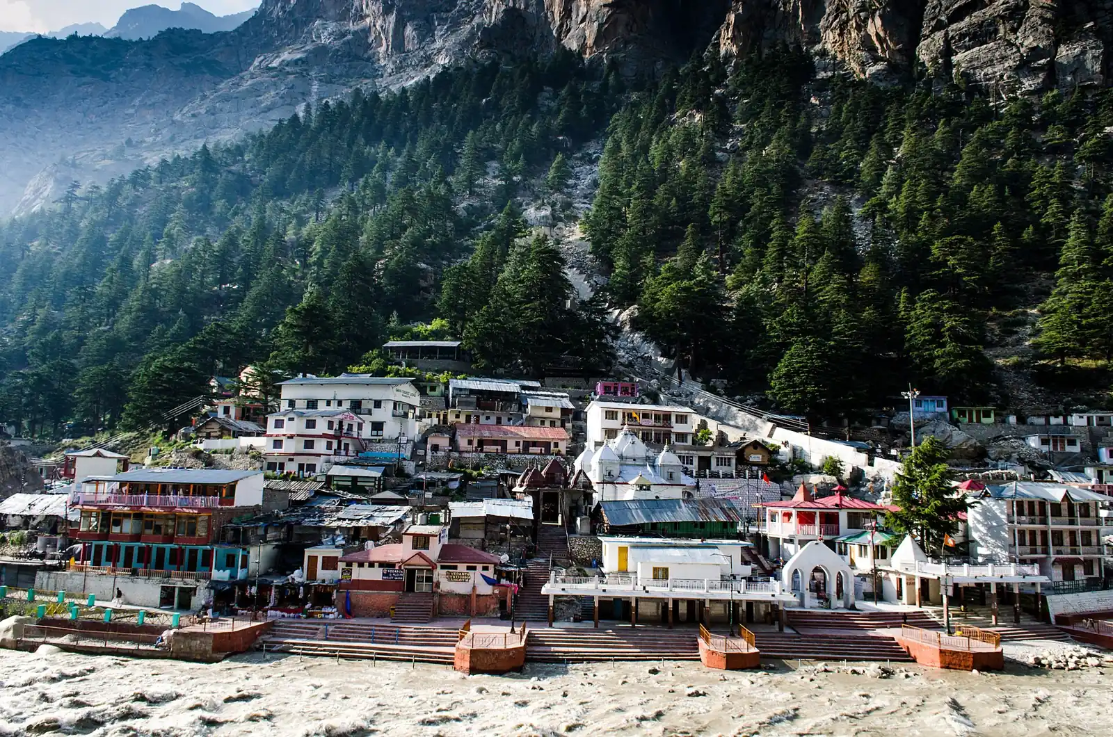
The Ganga is worshipped here as Bhagirathi, and the temple is on the road, so the shrine can be reached without trekking. The ice cave of Gaumukh is a long trek beyond, for which separate permits are required. At about 3,100 m, Gangotri is cold even in summer.
Kedarnath
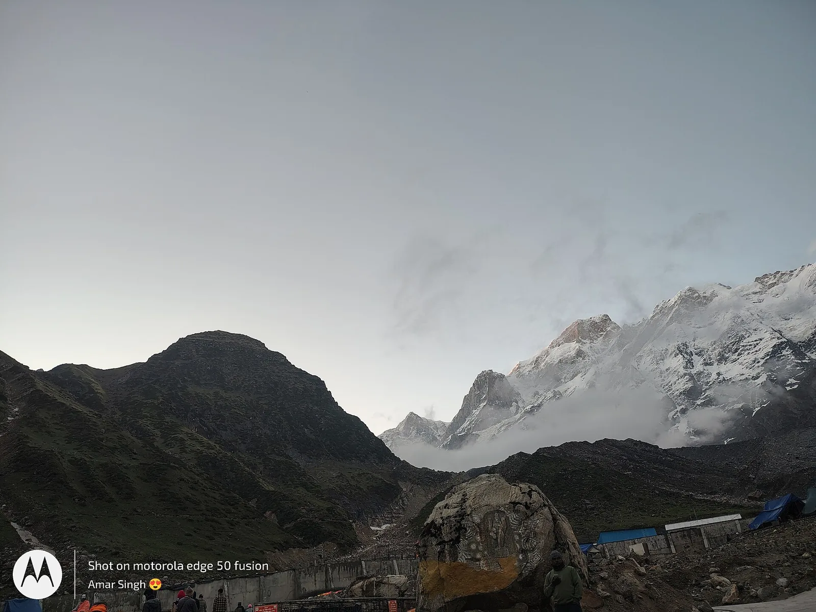
One of the twelve Jyotirlingas, set at roughly 3,580 m under snow peaks. Vehicles stop at Gaurikund, and a path of about seventeen kilometres climbs from there, usually six to eight hours on foot. Seekers walk it, or ride a pony or a carried chair, or fly from one of several helipads, which need advance booking. Start before dawn, carry rain protection and go slowly, as the altitude affects everyone. Elders and those with heart or breathing conditions should speak to a doctor before they commit.
Badrinath
The last of the four, on the Alaknanda river at about 3,100 m, with a road right up to the temple. A hot spring, Tapt Kund, is used for a bath before darshan. Mana, the last village before the Tibet border, is a short drive away and is a sweet detour on a clear day.
Registration and health
Registration of yourself and your vehicle is required for the Himalayan circuit, including Hemkund Sahib, and it is done on the Uttarakhand government's official Char Dham registration portal (registrationandtouristcare.uk.gov.in) or its mobile app, with verification again at each shrine. It has changed in details from year to year, so check it before you go. Medical screening points exist on the Kedarnath route. Carry layered clothing, a rain poncho, torch, personal medicines, a basic first aid kit and a photo ID.
What to pack, and what to leave
Pack in layers: thermal innerwear, a fleece, a windproof jacket, a woollen cap, gloves and good trekking shoes with grip. A light rain poncho matters more than an umbrella. Carry sunscreen, lip balm, sunglasses, dry fruit, electrolyte sachets, personal medicines and a power bank, since charging points are scarce on the trail. Leave heavy bags at the base hotel and take only a small daypack up. Mobile networks vary, so download offline maps and tell your family the plan for each day. Drink water often, avoid alcohol and walk at a pace where you can still hold a conversation.
A ten day shape
Delhi to Haridwar or Rishikesh on day one, Barkot on day two, Yamunotri on day three, Uttarkashi and Gangotri on day four, Guptkashi on day five, Kedarnath over the next two days, Badrinath via Joshimath, and the long drive back through Rishikesh. Landslides can close roads for hours, so leave one buffer day.
Laladham, from Delhi to the high shrines
We pick you up in Delhi and plan the circuit from end to end: an experienced hill driver, a daily plan that respects altitude, stays that are booked in advance and help arranging a pony, a palanquin or a flight for Kedarnath. Send your group size and dates on the book page and ask for a quote.
Questions, answered
When is the best time for Char Dham?
May to June is busy and warm, September to October is clear and quieter. July and August are risky for landslides.
Is Kedarnath possible for elders?
Many elders go by pony, palanquin or helicopter, but they should consult a doctor first and acclimatise on the way.
How many days are needed?
Ten to twelve days by road from Delhi, with a spare day for weather.
Is registration compulsory?
Yes, the Uttarakhand government requires it for the Himalayan shrines. Confirm the current process on the official portal.