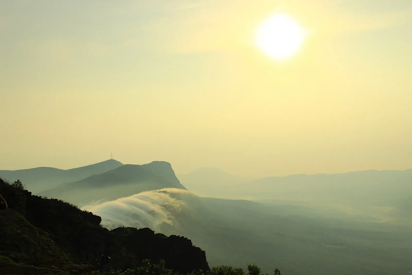
Chikmagalur is a coffee district first and a hill station second, and the people who write about it most warmly are the ones who stayed on an estate and not in town. They describe a walk before breakfast between shade trees and pepper vines, a bonfire in the evening and a quiet that does not exist in the cities they drove from. The famous viewpoints come second.
That order matters because the viewpoints are fickle. Several trip reports from the monsoon describe standing at the top of Mullayanagiri in cloud with no view at all, one reaching the car park and turning back. The winter months from October are the reliable ones, and this plan is built for them: clear morning light on the peak, the coffee harvest under way and Hebbe Falls still running full.
It suits couples, friends and families with children who can manage steps and a rough jeep track. It is not a rushed tick-list, and it will not suit anyone who dislikes winding ghat roads, because getting in from the coast is a long drive. Flights are not part of the package; you fly into Mangaluru and day one starts when you land.
From your pickup
Same trip, four starting points. Road times are real driving times; a long drive becomes its own travel day so nobody arrives wrecked.
Day by day
Day 1 · night in Chikmagalur
Down from the airport, up into the ghats
Mangaluru airport to Chikmagalur, about 150 km by ghat road, three to four hours
Your driver meets you after landing and the road climbs from the coast through the Western Ghats. Karnataka Tourism puts the distance at about 150 km, mostly on ghat roads. A morning flight puts you in the hills by mid afternoon, which is the plan. One group who reached town just after two in summer still caught a lake at sunset, but it was a close fit, so a landing after about four is best paired with an early dinner and a fresh start the next morning.
Check in at the estate stay, rest and walk the coffee rows before dark if the host offers it. The bloggers who stay on estates describe homestay meals as simple and home-cooked, which is the right register for the first evening. If you want a sunset, Hirekolale Lake lies at the foot of the Mullayanagiri range and its gates are listed from six in the morning to six in the evening, so it works as a short outing before dusk.
Ask your host about night driving: one writer who knows the area well avoids the ghat roads after Birur in the dark, and the same sense applies to isolated lakeshores, where a travel writer was told not to stay after dark.
- Estate stay
- Hirekolale Lake
- Coffee estate walk
Day 2 · night in Chikmagalur
Mullayanagiri at first light, then Baba Budangiri
Chikmagalur to Mullayanagiri, then onward to Baba Budangiri, about an hour between the two
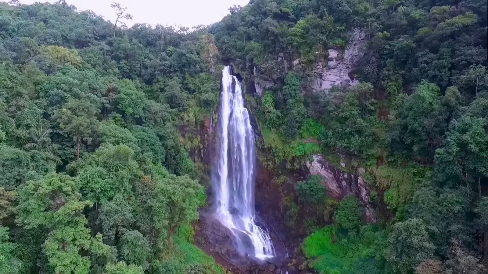
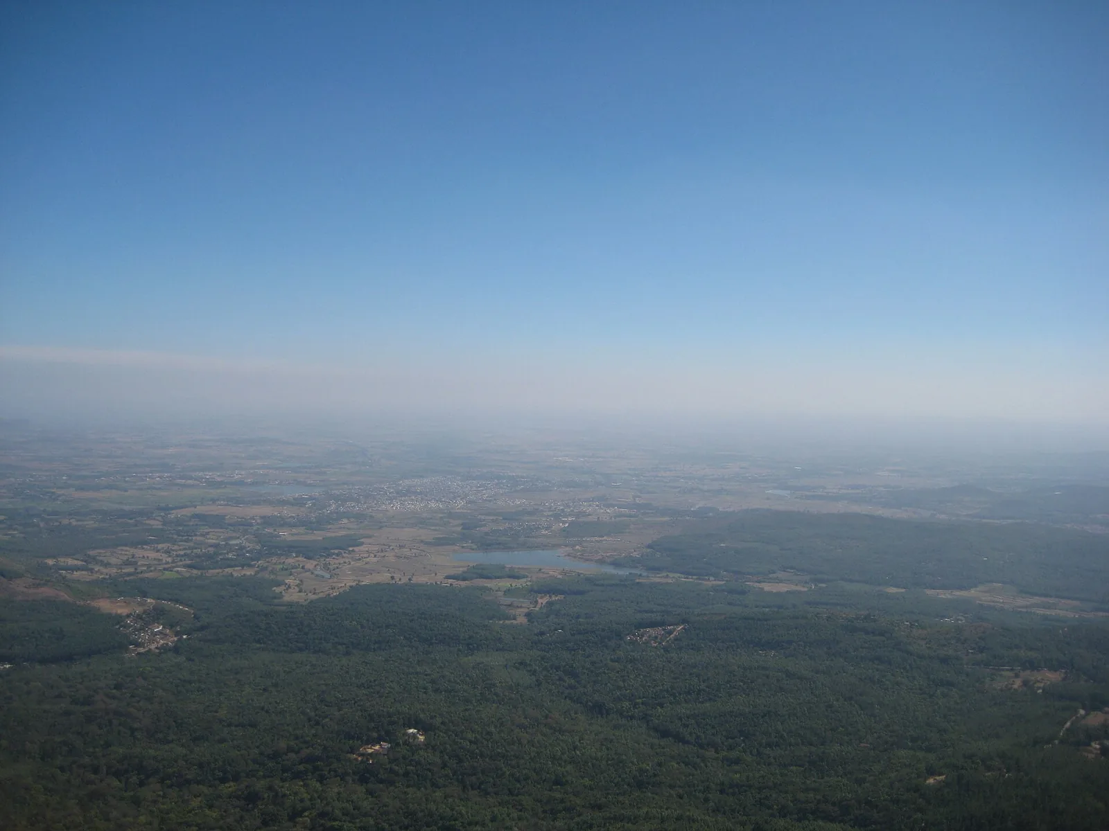
Leave in the dark. Mullayanagiri, at 1,930 m, is Karnataka's highest peak and the tourism board advises early morning for the clearest air and the fewest crowds. A paved road carries you up, and the last stretch is stone steps up to a small Shiva temple. Accounts differ on how many: roughly two hundred from the car park on one visit, around four hundred from a halfway point on another, so do not trust any single number. The wind at the top is strong, the stones are cold, and shoes come off at the shrine.
Expect weather to decide the view. Friends who went in August found the summit white and windy with their ears aching, and a mother who came in July with a child never started the climb because the mist cut visibility to nothing. A blogger who visits often says to be done before noon, since the cloud closes in during early afternoon. If the top is clear, hot corn at the car park afterwards is a small ritual travellers keep mentioning.
The second half of the day is Baba Budangiri, roughly an hour beyond, by Outlook Traveller's estimate. The hills are tied to the story of coffee in India: Baba Budan, a Sufi saint, is said to have brought seeds from Yemen in the seventeenth century, and the Dattatreya Peetha here is a shrine held sacred by two faiths. One writer finds it calmer than Mullayanagiri and says dusk is a good time to be there.
Back at the estate, the evening is yours. A coffee tasting or a walk among the pepper vines is more rewarding than a third viewpoint.
- Mullayanagiri
- Baba Budangiri
- Dattatreya Peetha
- Coffee estate
Day 3 · night in Mangaluru airport
Hebbe Falls by jeep, then back to the coast
Chikmagalur to Kemmanagundi and Hebbe Falls, then the long road to Mangaluru
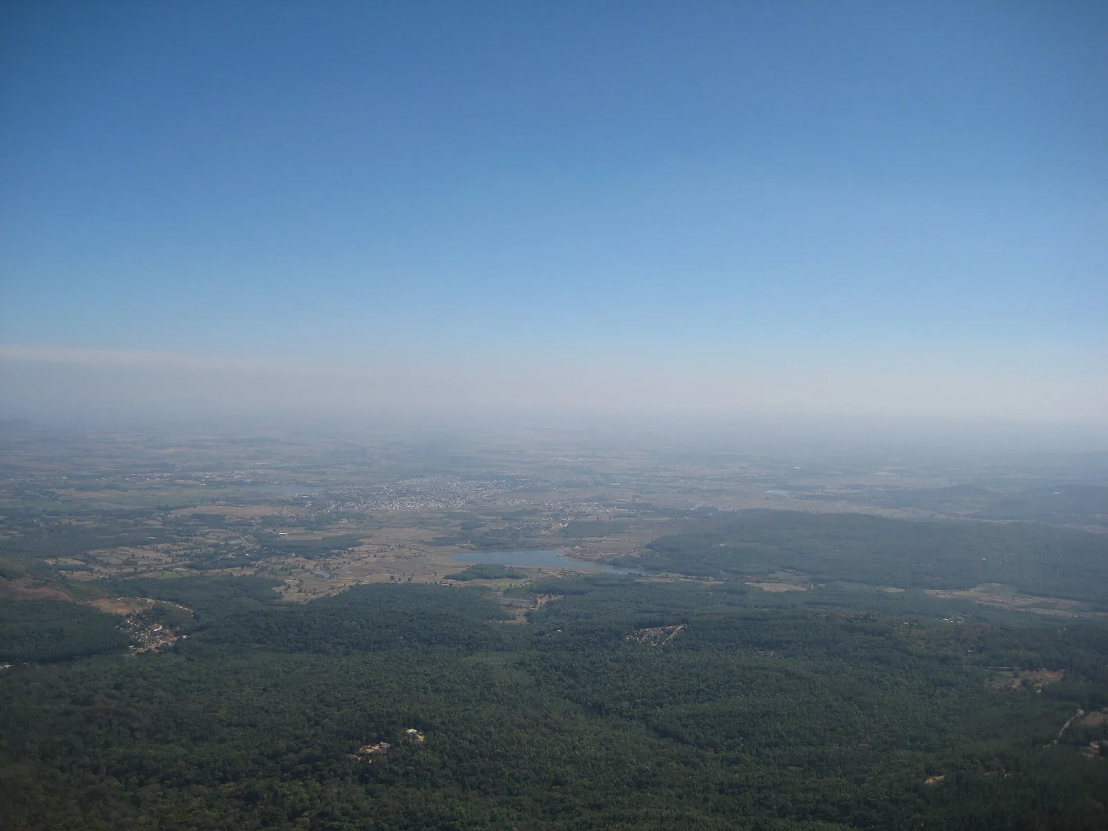
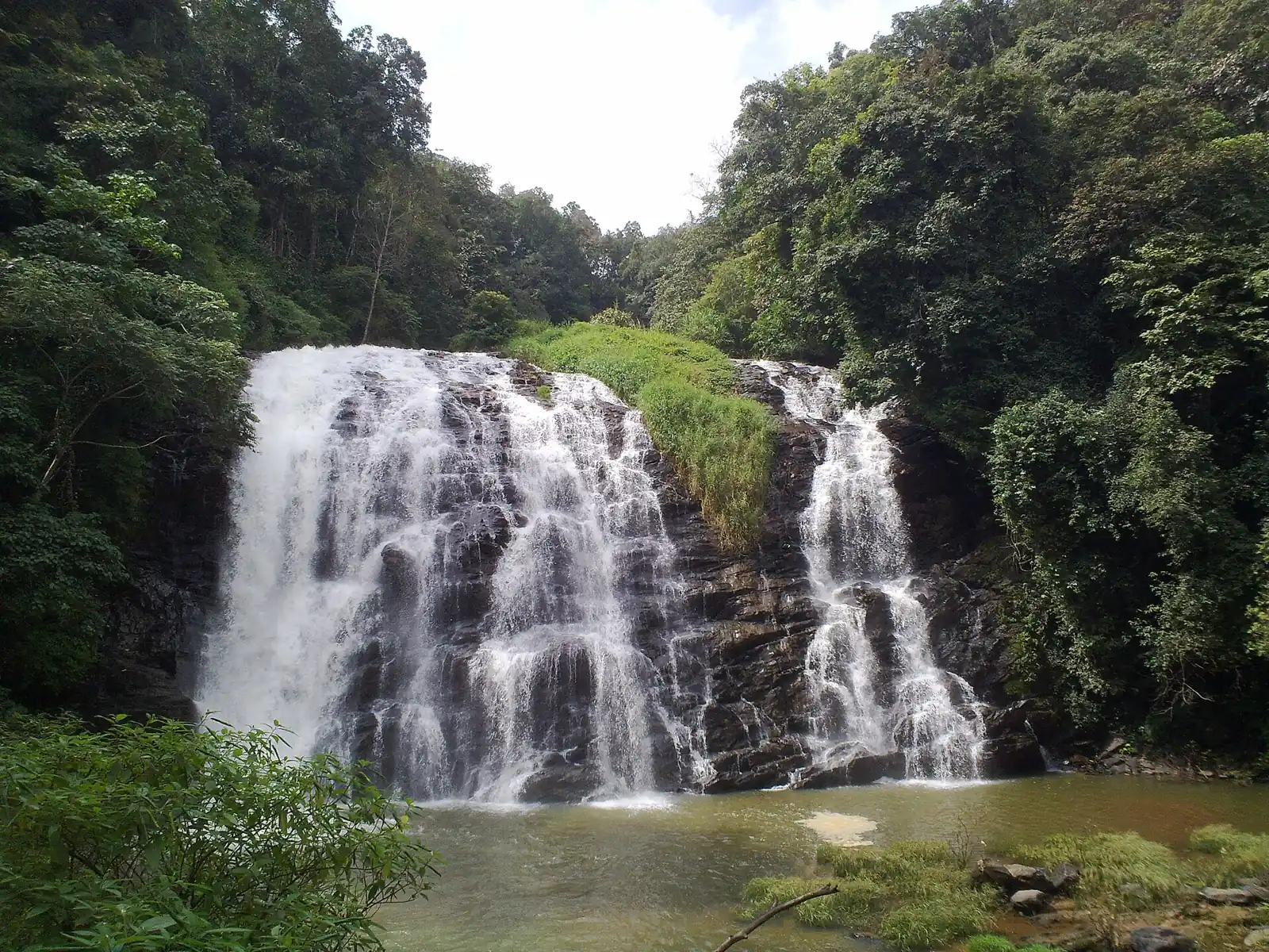
Today is early too. Hebbe Falls lies a good one to two hours from town, and a good part of the delay on any visit is the jeep queue: the state page says jeeps from the Kemmanagundi area take visitors most of the way, and some writers report waiting for a jeep to fill. Another party, visiting in the monsoon, described the track as a roller coaster, then about a kilometre on foot with three stream crossings and slippery rock.
The falls drop 168 m in two tiers, Dodda and Chikka Hebbe, inside the buffer zone of the Bhadra Tiger Reserve. The flow peaks in the weeks after the monsoon. After rain, the same writers warn that the streams on the path swell quickly, leeches are common and grip footwear is not optional. Give yourself time at the bottom and be back at the jeep before the light and the water change.
Kemmanagundi's Z Point is a short sunrise or sunset stop in the same direction if you have spare minutes, though one traveller reports a muddy track and a walk onto open grassland, and the sun broke through for only a short while.
The long road back down to Mangaluru, the same ghat run as day one. Book a flight from about eight at night onward, and tell us if your plans differ so we can move the Hebbe start earlier or later.
- Hebbe Falls
- Kemmanagundi
- Z Point
- Mangaluru airport
When the hills are clear and when they are not
The tourism board gives October to February as the best period, with the coffee harvest in October and November. The monsoon, June to September, fills the waterfalls but limits trekking, and several accounts from July and August describe cloud over every viewpoint. If your dates fall in the rains, keep Hebbe and drop the peak, or the other way round if the forecast is poor.
What people say they got wrong
A recurring regret is trying to stack the peak, the falls and a temple town into one day. Another is arriving at a day trip without allowing for cold and wet. A camera soaked through a plastic cover at the summit, and an umbrella proved useless in the spray at Hebbe.
Pack layers, a rain jacket, shoes that come off easily and a dry bag for phones and cameras. Carry water, because the mist does not stop you getting thirsty on the steps.
Permits and the parts we leave out
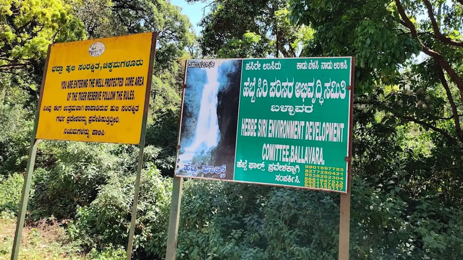
Kudremukh National Park needs a forest department permit, so it is not part of this plan. The board mentions no permit for the peak, Baba Budangiri, Z Point or Hebbe Falls, but rules near the Bhadra reserve change, so check with your host before you set out.
What the price covers
- Car and driver from your pickup to the airport, and again from arrival to departure
- 2 nights in hand-picked stays
- Breakfast and dinner every day
- Local guide at the main sights
- Tolls, parking and fuel
- Flights and trains (we book them with you at the fare of the day)
- Lunches
- Monument tickets, permits and activity fees
- Personal shopping
Questions people ask
How far is Chikmagalur from Mangaluru airport?
About 150 km, and the state tourism page calls it a ghat drive of several hours. Because the road is winding, most people prefer to cover it in daylight.
Is Mullayanagiri a hard climb?
Not for most people. A paved road covers the bulk, and the last section is stone steps, though visitors count them differently, from about two hundred to four hundred. The wind is the harder part, and mist can hide the view completely.
Can we drive our own car to Hebbe Falls?
Writers who have been say private cars do not go the whole way, and visitors take a jeep from the Kemmanagundi side. Ask your host which jeep point is open on your day.
When is the best month for Hebbe Falls?
The tourism board says the flow is fullest from September to November. Outlook Traveller mentions August to January as the period when it looks its best, and the monsoon months make the walk slippery.
Do we need to book a coffee estate walk?
Most stays arrange an estate walk or a jeep drive through the plantation, often at first light. Ask when you book. A walk at that hour is among the things estate guests mention most fondly.
Will Laladham pick us up from Mangaluru?
Yes. Laladham meets you at Mangaluru airport and the same driver stays with you until you are dropped back there. The flights themselves are yours to book.
- Hebbe Falls jeep point, whether jeeps run on your day, and the fare and payment mode (cash or UPI)
- Mullayanagiri access and any parking limits at weekends; the road narrows near the top
- Whether any permits apply near the Bhadra reserve; Kudremukh needs a forest department permit
- Weather and visibility on the summit the evening before, since cloud can close the view
 4 days
 4 days
 3 days