Plan around three outings that ask something of your legs: the steps up to Edakkal, the Chembra trek and the early safari. Everything else is slower and can be shuffled around the weather.
Getting your bearings
Kalpetta is the district headquarters and the sensible base. Calicut (Kozhikode) International Airport is the nearest airport, roughly 90 km from Wayanad according to the national tourism board, and Kozhikode station is the railhead, about 110 km away going by the magazine. State buses reach the district from Bengaluru, Mysore, Kochi and Mangalore.
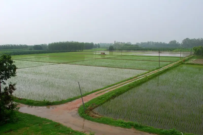
Distances look small on the map and are slow on the ground, because the roads climb through bends. October to March is the easy season for roads and walking, and the monsoon makes the paths slippery.
Edakkal: 300 steps to a rock with writing
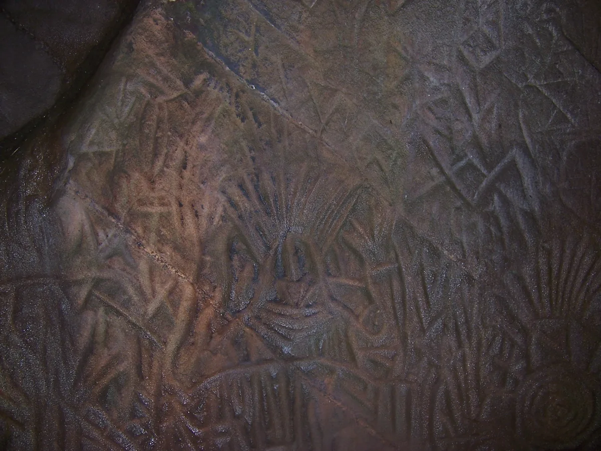
Edakkal sits on Ambukuthi Hills, around 25 km from Kalpetta, at roughly 1,200 feet. The name is usually glossed as a stone in between. The walls inside carry engravings that tourism sources date from around 6000 BC at the oldest, with later marks up to about 1000 BC.
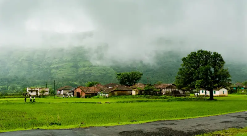
You reach them by a steady climb of about 300 stone steps, after a short walk from the car park. Go in the morning, wear shoes with grip, and keep the monsoon in mind. The Wayanad Heritage Museum at Ambalavayal, open 10 am to 5:30 pm with a small entry fee makes a sensible sequel for the afternoon because it holds the tribal artefacts that the caves only hint at.
Chembra: the heart lake climb
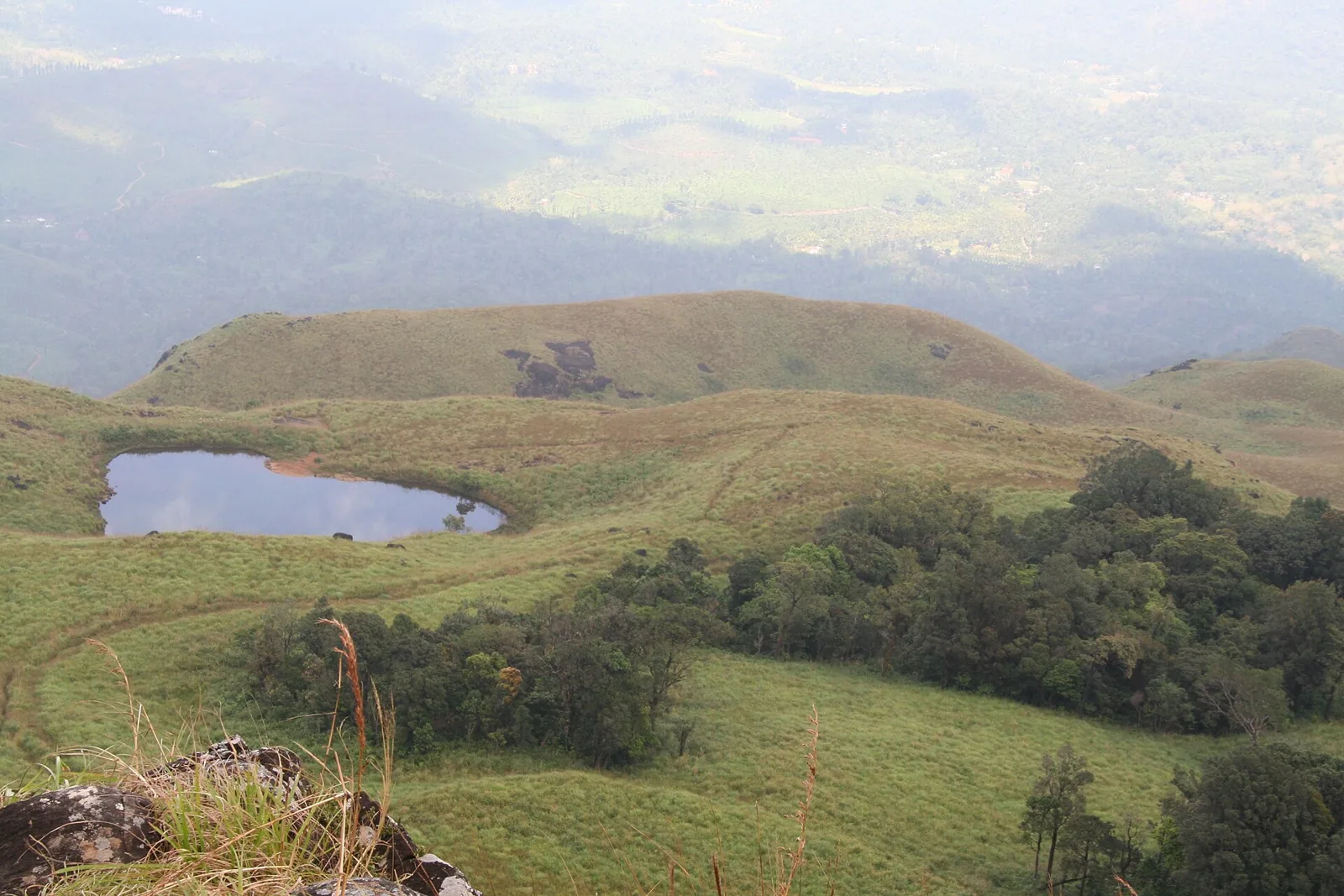
Chembra Peak rises to about 2,100 m, the highest point in the district, near Meppadi and about 17 km from Kalpetta. Kerala Tourism calls the trek moderately difficult and allows three to four hours from the trailhead, with the heart shaped Hridaya Saras lake halfway up, said never to dry up. Outlook Traveller counts about an hour for the final 4 km stretch, so the two disagree: take the longer estimate and start early.
The Forest Department issues the permits where the trail starts, and entry and a guide are charged separately. Carry water, snacks, a first aid kit and sturdy shoes. On a clear day, the board says, you can see into Tamil Nadu and Karnataka. Between June and August the trail turns slippery.
Water and walls: Banasura and the falls
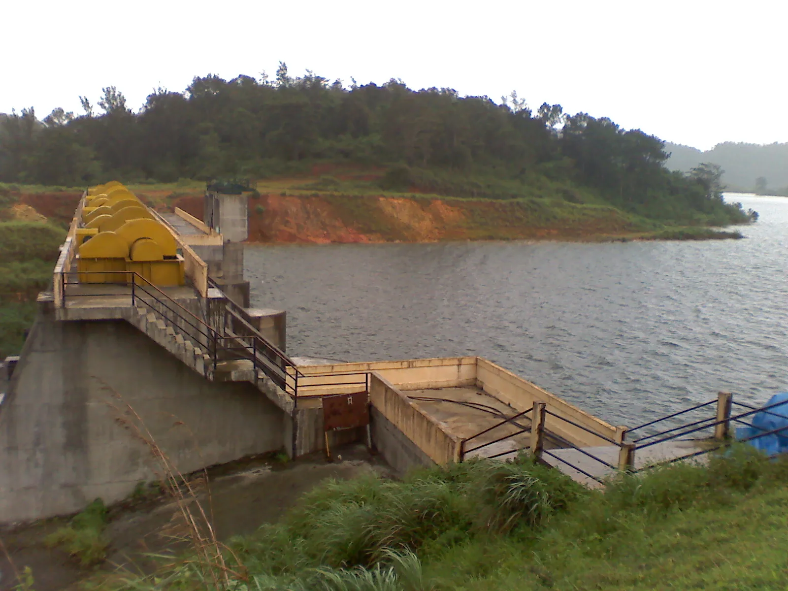
Banasura Sagar is described by Kerala Tourism as the largest earthen dam in India. The reservoir is circled by hills, which is the picture you see in most photographs. If you want waterfalls, the magazine names Soochipara and, nearby, Meenmutty, the second one for when time allows.
Kuruva Island offers bamboo rafting according to the tourism board. Check whether it is open when you arrive, since river levels set the schedule.
The sanctuary: two parts, two safari windows
Wayanad Wildlife Sanctuary covers 344.44 sq km in two parts, Muthanga and Tholpetty, and belongs to the Nilgiri Biosphere Reserve. The magazine lists morning safari windows from 7 to 10 am and afternoon windows from 3 to 4:30 pm, and describes elephants, deer, bison and birds. The tourism board adds tigers and leopards to the list of what the sanctuary holds.
Treat that as a sample of the forest, not a promise. Jeep safaris are what you go on, and a guide's eyes are what you pay for.
Tea, markets and the Jain temple
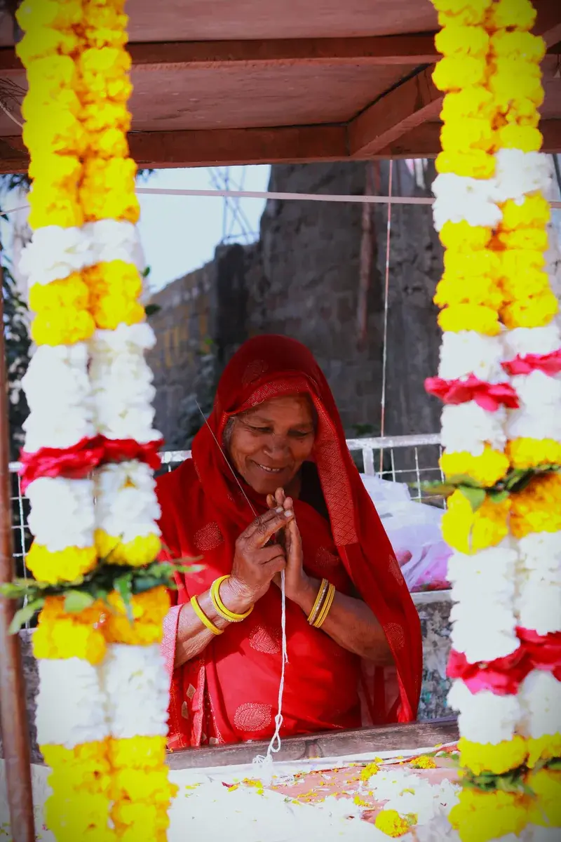
Tea gardens around Kalpetta can be toured along with a factory, and the markets sell spices, tea and handicrafts. Uravu, the bamboo crafts centre, lets you watch artisans at work.
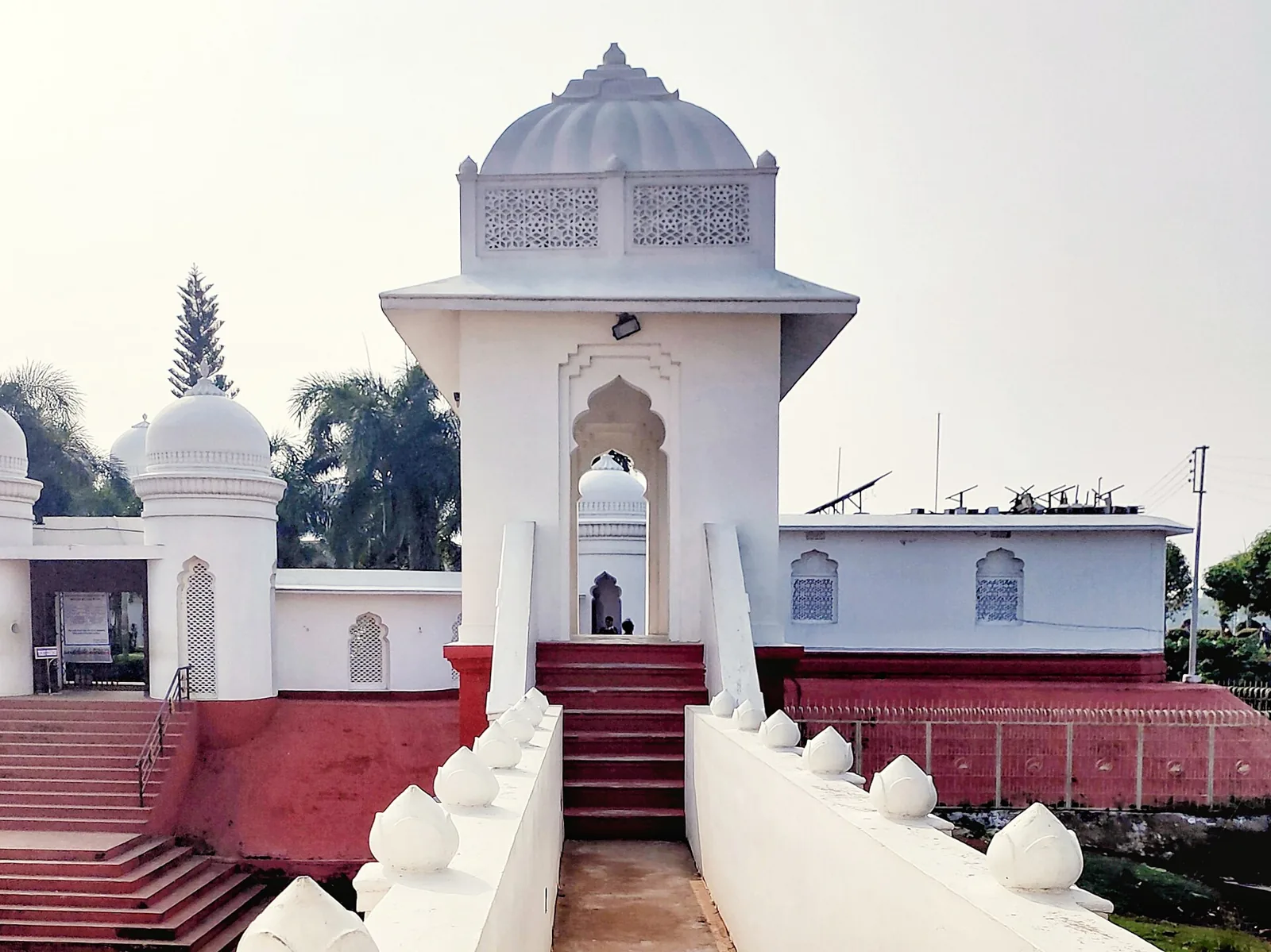
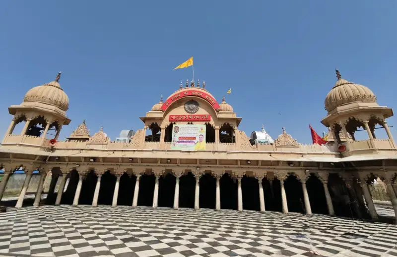
At Sultan Bathery, the Jain temple is open 8 to 12 and 2 to 6 in the same article's listing, and the same article says Tipu Sultan's forces once used it as an ammunition store. Thirunelli temple, dedicated to Vishnu, is called the Kashi of the South by Kerala Tourism.
Meeting the Adivasi heritage properly
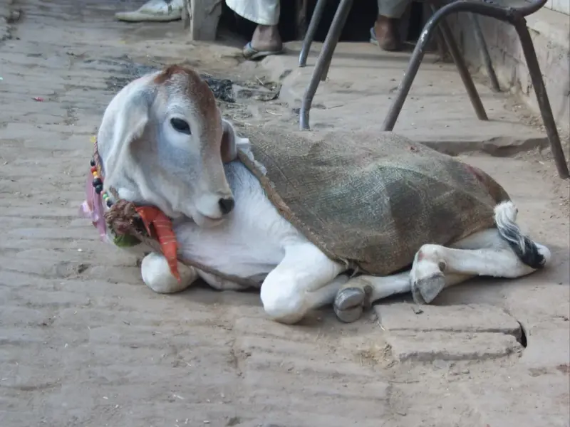
Kerala Tourism names the Paniyas, Kurichiyas, Adiyas, Kurumas and Kattunayakans among the district's communities. The heritage museum is the respectful starting point, because its exhibits of tools and handicrafts are curated, and visits to villages should be through community based programmes, not drive-by photography.
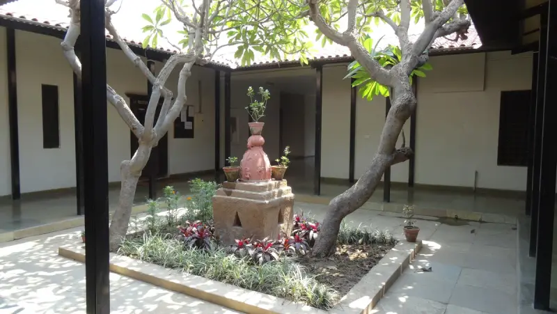
Wayanad from Delhi, with Laladham
Wayanad is far from Delhi, so the honest route is a flight into Calicut or Bengaluru and a drive up from there. Laladham picks you up in Delhi, from the airport, station, home or hotel, and plans the complete trip: flights, a driver for the ghat roads, a plantation stay near Kalpetta and the permits for Chembra. Ask for a quote on the [book page](/book).
Questions, answered
How far is Edakkal Cave from Kalpetta?
About 25 km, though one tourism page gives 26 to 27 km. Expect a climb of around 300 steps once you reach the base.
How long does the Chembra trek take?
Kerala Tourism gives a half-day climb, and the trail is steep in parts. Start early.
Do I need a permit for Chembra?
Yes, according to Kerala Tourism. They are issued by the forest office at the foot of the trail, with separate fees for entry and guides.
What is the best time to visit Wayanad?
October to March suits the roads, and Chembra's own window starts in September. The monsoon, June to August, makes trails slippery.
Which airport is nearest?
Calicut International Airport, about 90 km from Wayanad on the national board's figure. Kozhikode is the railhead.