It is not a hill station with a mall road. It is a quiet plateau, a long way from anywhere, and the planning questions are about distance and timing more than sights. This guide answers them.
Where it is and how high
Netarhat is in Latehar district. Travel and Leisure Asia puts it at 3,622 ft above sea level and 156 km west of Ranchi, while Incredible India says about 145 km. The Times of India quotes about 3,700 ft. The numbers disagree, which does not matter: it is a cool, forested plateau a few hours from the state capital.
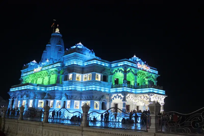
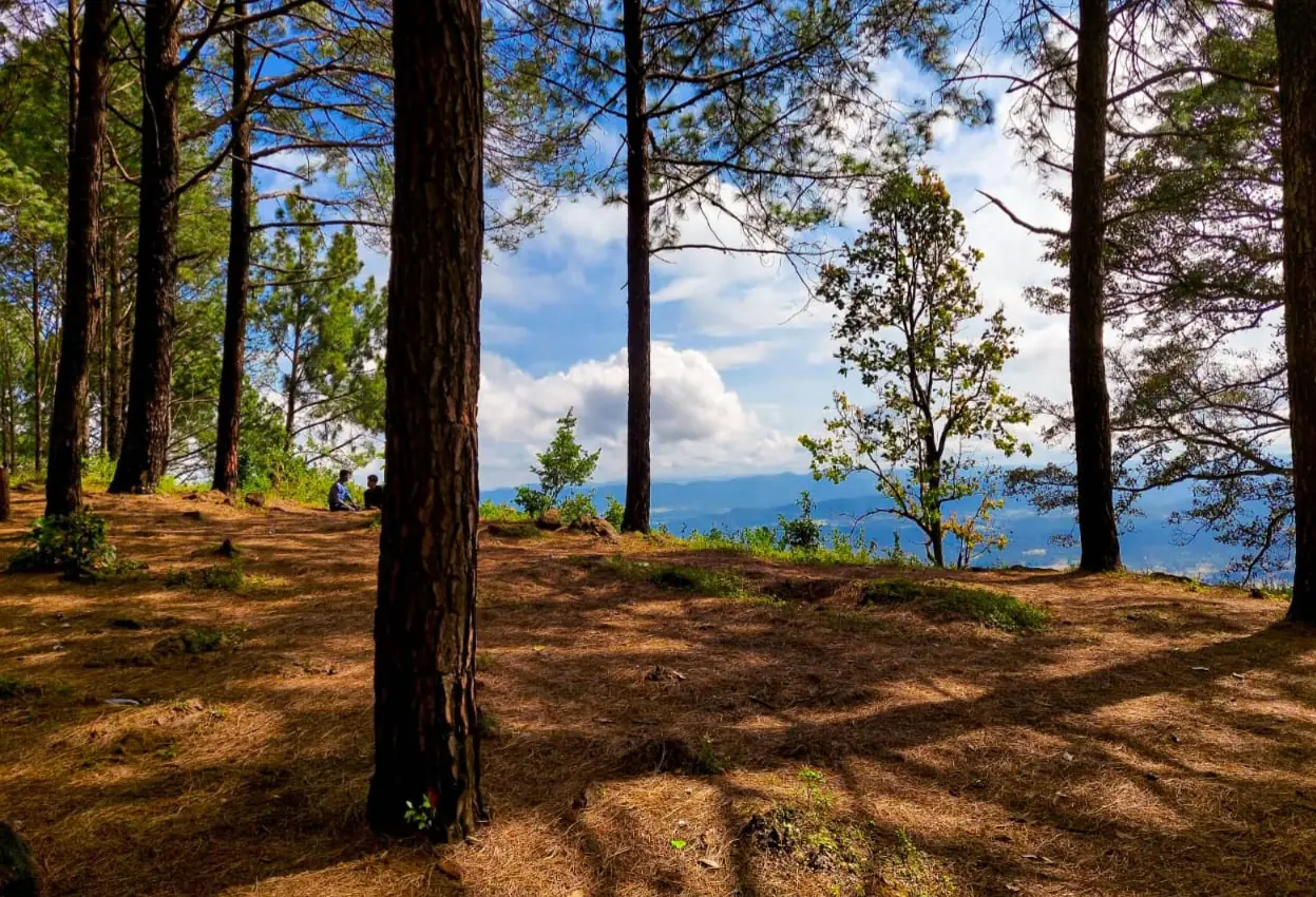
The same newspaper describes surrounding forests of sal, mahua and eucalyptus. The photograph of the pine ridge above shows the other side of the place, open hilltop with distant blue hills.
Sunrise and sunset, and where to stand
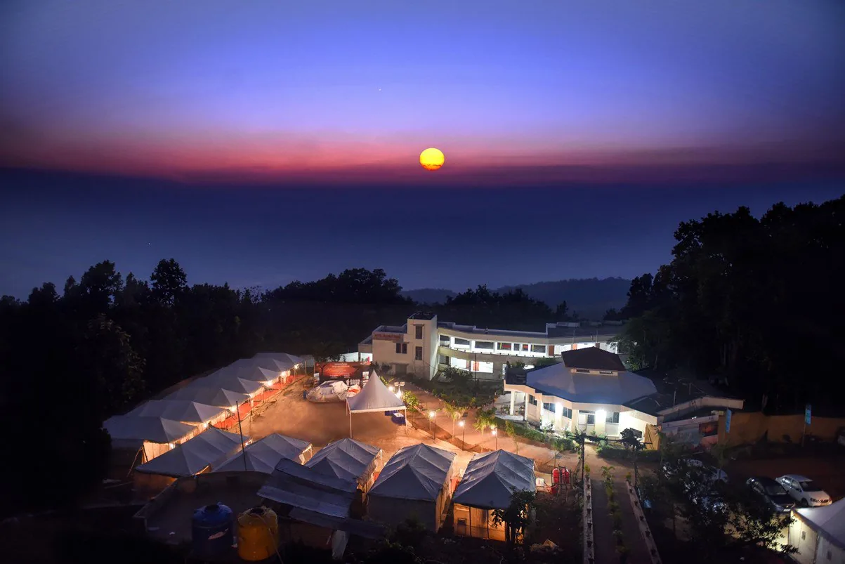
Everything revolves around the light. The tourism portal sends visitors for dawn and dusk views, and the magazine names Magnolia Point as the spot for both. Be there before the sun is up, and again an hour before it sets, because the best minutes are the ones before and after the disc itself.
Carry a warm layer even in warm months. The wait for first light on a hilltop can be long and cool.
Waterfalls, quiet ones
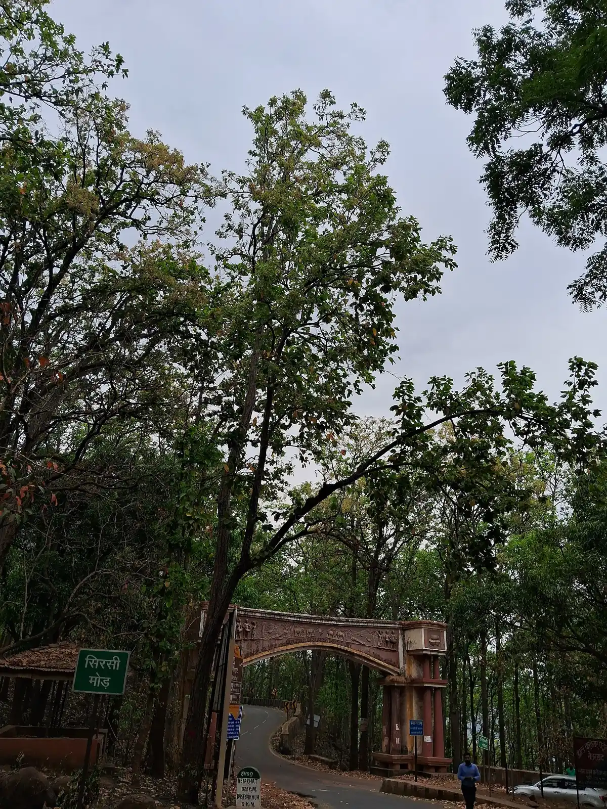
The magazine calls Ghaghri waterfall a quaint, little-known escape from the hustle. The newspaper lists Magnolia Falls and Sadni Falls as the area's pleasures for nature lovers. Falls on this plateau depend on rain, so ask your host which ones are running before you plan a day around them.
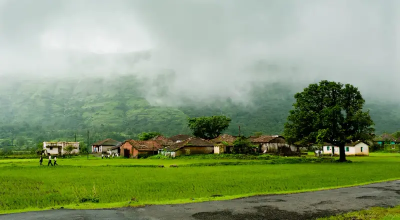
Lodh Falls, in the Mahuadar area, is the big one in the district. The Latehar website lists it as an attraction near Betla, and the longer safari route halts there, per Outlook Traveller. Treat it as a separate excursion rather than a quick add-on.
Betla National Park next door
Betla is part of the same district. Its name is an acronym of bison, elephant, tiger, leopard and axis deer, and the district site calls the park open all year, with November to March the comfortable stretch and May and June the hottest. Outlook Traveller says each jeep carries up to six people for about three hours, twice a day, with a morning elephant ride covering about 15 km.
Betla village is the only way into the park. The Latehar site places it 25 km south of Daltonganj, with Barwadih as the nearest railway station. A sensible plan pairs one night at Netarhat with one near Betla. The state's [Jharkhand travel guide](/blog/jharkhand-travel-guide) places both in the wider map.
Homestays and the new tourism plan
A December 2022 report said that Jharkhand planned to promote Netarhat for ecotourism and cultural tourism, with homestays so that travellers can stay with tribal families and hospitality training for hosts. Whether a given homestay is ready is a local question, so ask for current options before you finalise your room.
Keep your expectations modest: the place is quiet by design, and the facilities are still catching up with the plan.
A two-night plan that works
Day 1: reach Netarhat by early afternoon, settle in and walk to Magnolia Point for the evening light. Day 2: sunrise, a slow breakfast, then a quiet waterfall if the rains have fed it, and the afternoon free. Day 3: an early start for Betla, with a morning jeep safari and a stop at Lodh Falls if the guide agrees, then the long road back to Ranchi.
The region around Betla has been home to the Oraon and Munda tribes for centuries, as Outlook Traveller notes. If a homestay can arrange a meal or a conversation, say yes.
Getting there from Delhi
The magazine says the nearest airport is Birsa Munda in Ranchi, 154 km off, with a flight from Delhi of about two hours and a taxi of about four hours onward. The nearest stations are Lohardaga, 85 km away, and Ranchi Junction at 153 km, with the article putting the train from Delhi at around 16 hours. The same piece gives the road distance from the capital region as 1,241 km and suggests breaking the journey at Prayagraj.
In plain terms, fly to Ranchi, then drive. Ranchi trains are covered on our [Delhi to Ranchi route page](/trains/delhi-to-ranchi).
Laladham for Netarhat
Laladham can plan this from Delhi: pickup from the airport, a station, your home or a hotel, a flight to Ranchi, a driver for the climb to Netarhat and the Betla roads, and rooms at the places you choose. Send your dates on the [booking page](/book) and ask for a quote.
Questions, answered
Why is Netarhat called the Queen of Chotanagpur?
Because it is the best-loved hill station of the region, and official and press writers alike use the nickname.
What does Netarhat mean?
Nature's Heart, per the Latehar district site.
How many days do I need?
Two nights make the long road worthwhile: one sunrise, one sunset. Add a third night if you want a Betla safari.
Which is the nearest airport?
Birsa Munda Airport at Ranchi, about 154 km away, with a drive of around four hours.
Can I combine Netarhat with a safari?
Yes. Betla National Park is in the same district, and the longer jeep route passes Lodh Falls and Netarhat.