Shillong and Cherrapunji already have their own pages on this site. Here the idea is the wider map: the Khasi hills for villages and root bridges, the Jaintia hills for rivers and megaliths, and the Garo hills for forest, caves and drums.
Khasi hills: villages that carry their own music
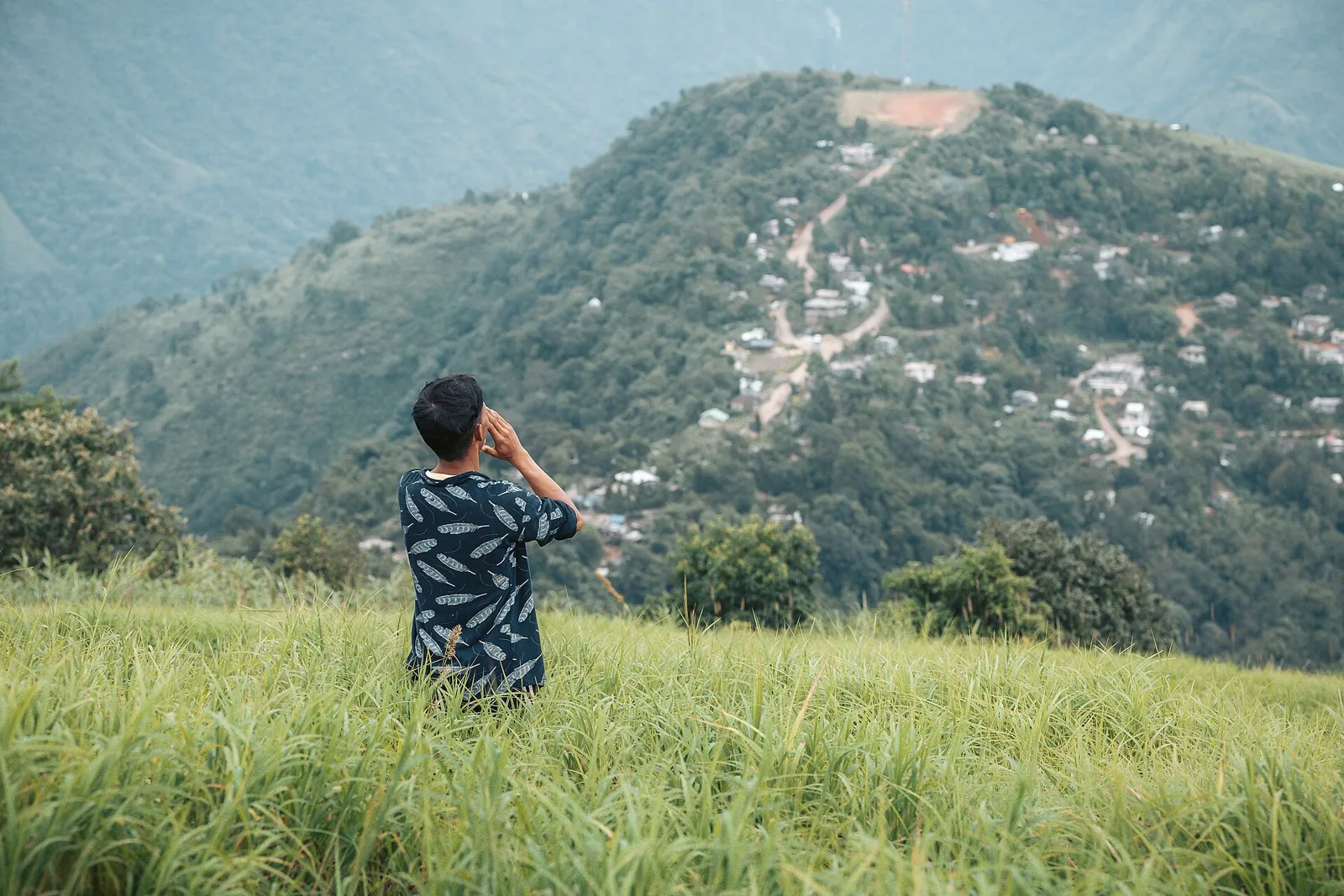
Kongthong, about 55 to 60 km from Shillong via NH206, is the whistling village. Meghalaya Tourism explains that each resident has a personal melody composed by the mother and kept as a lullaby, the tradition called Jingrwai Iawbei. Shared sumos and taxis run from Shillong, and the last stretch is a short walk from the road. The best months are October to April.
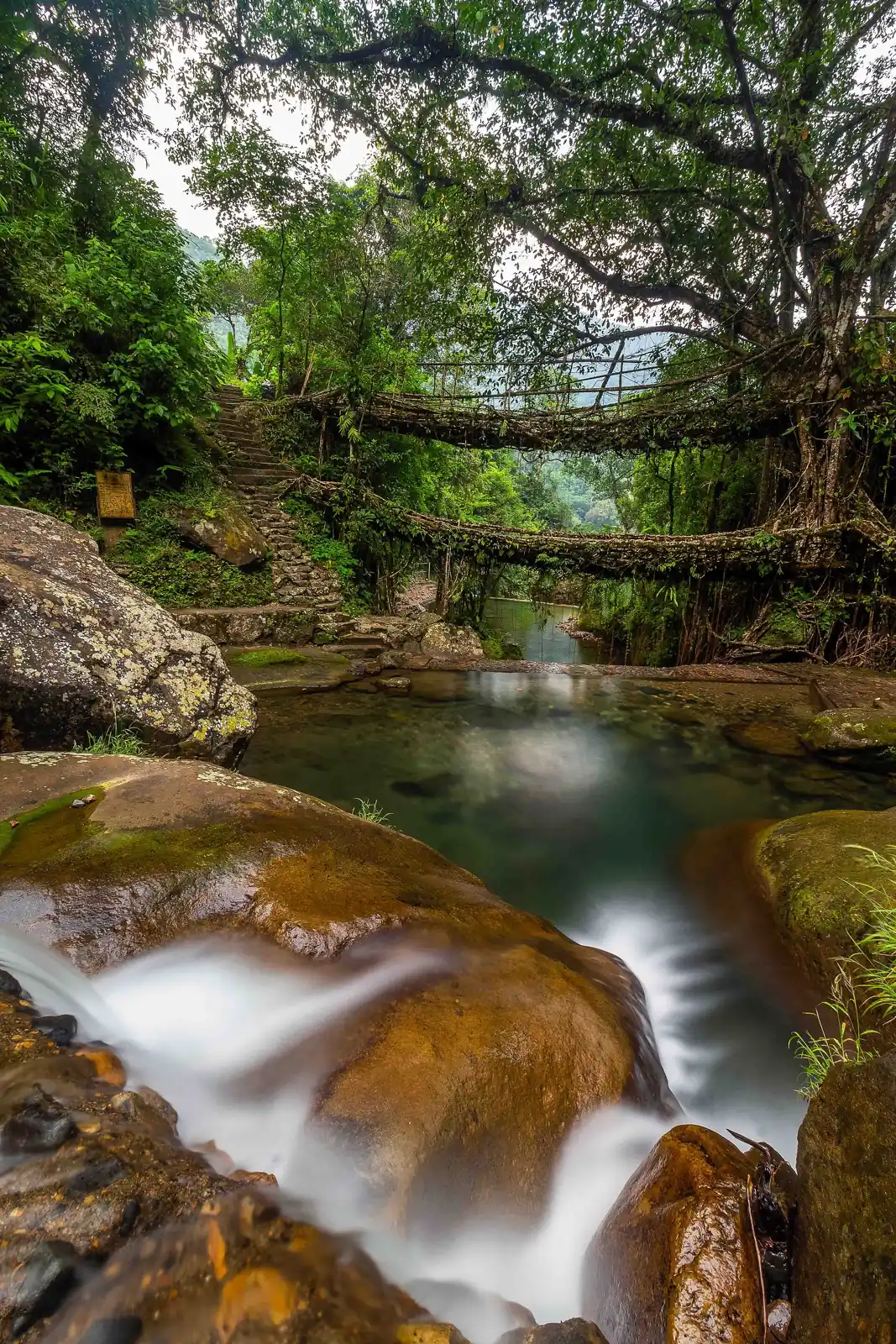
The same hills hold the living root bridges: the national portal says around 100 exist, grown over centuries by the Khasis and Jaintias from intertwined roots, with Nongriat and Nongbareh among the best known. They sit on the UNESCO tentative list. Mawphlang's sacred grove, with rare plants and old coronation sites, is the other quiet stop.
Caves for the curious and the cautious
Mawsmai Cave near Sohra is the easy one, with narrow squeezes and crawl spaces and no need for expertise. Arwah Cave carries fossilised shells and fish bones in its limestone walls. For serious spelunking, Krem Liat Prah is described as South Asia's longest cave, with a vast chamber called the Aircraft Hangar, and the tourism board also lists a very long sandstone cave near Mawsynram.
Take a local guide for anything beyond Mawsmai, and ask about water levels first, because streams flow through these caves.
Jaintia hills: rivers, pottery and standing stones
At Dawki, the Umngot river is clear and aquamarine in the board's words, and the Shnongpdeng and Darang stretch offers camping, kayaking, zip-lining and what is billed as India's only freshwater snorkelling. Phe Phe Falls drops about 80 feet in two tiers, and Krangshuri falls spills over a cave after a gentle walk down.
Nartiang is known for its monoliths, and the national portal places the Nartiang Durga temple here too. Larnai black pottery, called Khiew Ranei, is made, marketed and preserved by women. Jowai, the main town, grew under the Pnar kings. Its Presbyterian church dates to the nineteenth century, and Thadlaskein Lake and Ialong sacred grove are the usual add-ons.
Garo hills: drums, gibbons and a long cave
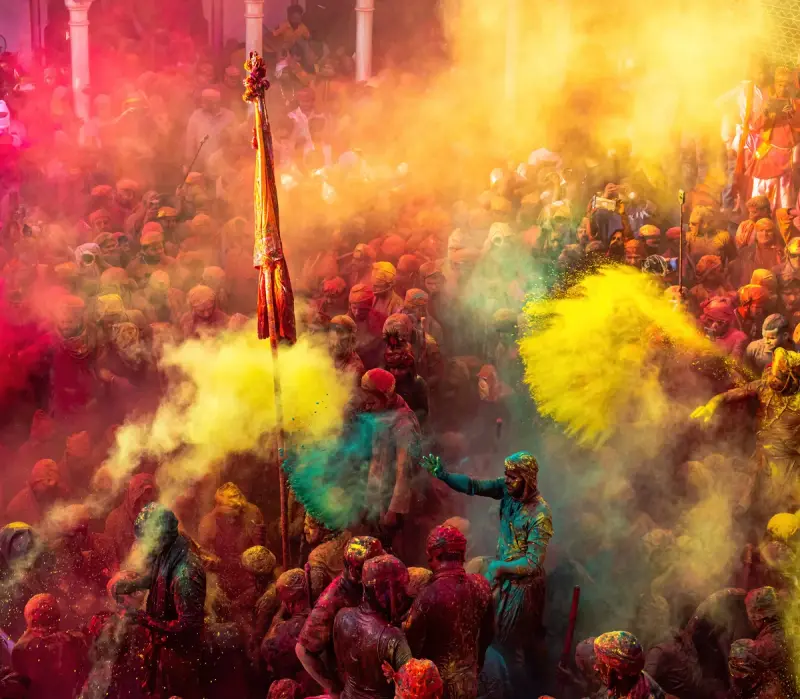
Tura is the cultural heart of the Garo people and the base for the western hills. Nokrek National Park, a UNESCO biosphere reserve, shelters hoolock gibbons, Asiatic elephants and red pandas, and the board says it has the world's oldest citrus species. Tura Peak is a moderate hike with hornbills and gibbons on offer.
At Siju, the limestone bat cave is counted among Asia's longest, and across the river the bird sanctuary protects hornbills and peacock pheasants, reached by a hanging bridge. Balpakram, the land of spirits and winds, is rich in Garo folklore. Wachiwari fish sanctuary on the Simsang protects the endangered chocolate mahseer.
Festivals worth shaping a trip around
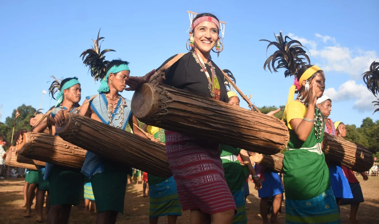
April brings the Shad Suk Mynsiem of the Khasis, July the Pnar Behdienkhlam, and November the Nongkrem dance in Smit and Wangala among the Garos. Wangala is nicknamed the Festival of a Hundred Drums, and Tura is the place to catch it.
Festival dates move with the lunar and agricultural calendar, so confirm them with the tourism office before booking flights.

What to eat and buy
The portal singles out tungrymbai, a fermented soybean dish, nakham bitchi, a smoked preparation, and pumaloi, a rice and jaggery sweet. Markets to browse include Police Bazaar and Iewduh in Shillong, and the Tura and Jowai markets for tribal crafts, woven cloth and bamboo work.
How to move around
The national portal names Shillong airport, along with Umroi, as the nearest. Distances in the hills are deceptive, and a short map line can mean three or four hours of bends, so build slack into each day. Rain is a fact of life, and roads in the Garo hills in particular are worth checking before you commit.
Laladham from Delhi
Meghalaya is a flight from Delhi, and Laladham can make the hills manageable. We pick you up in Delhi, from the airport, station, home or hotel, and plan the full trip: tickets, a driver who knows the hill roads, stays, and guides for the caves and the root bridges. Ask for a quote on the [book page](/book).
Questions, answered
What are the three regions of Meghalaya?
The Khasi, Jaintia and Garo hills, each with its own people, festivals and landscapes. Shillong sits in the Khasi hills.
When is the best time to visit Meghalaya?
The tourism board gives October to April for the Khasi hills villages. Rain shapes everything else, so check conditions for caves and rivers.
Where are the root bridges?
The Nongriat area is the famous cluster, with Sohra and Nongbareh also named. Around 100 exist in total.
Is Dawki worth the trip?
Yes if you like rivers. Camping, kayaking and snorkelling are all on offer there.
Can Laladham plan Meghalaya from Delhi?
Yes, from the Delhi pickup onward, as one plan.