It is slower, rougher and less visited, and it suits people who care about the road itself. This guide gives the real distances and the real constraints, because Zanskar is not a place to improvise.
Zoji La and Drass, the gateway
Drass sits at the foot of Zoji La, the pass that links Srinagar with the valley and which opens only in summer. Its page names April to June as the best window. The page also describes Drass as having a minimum temperature of at least minus 40 degrees Celsius, which it calls the second coldest inhabited place in the world.
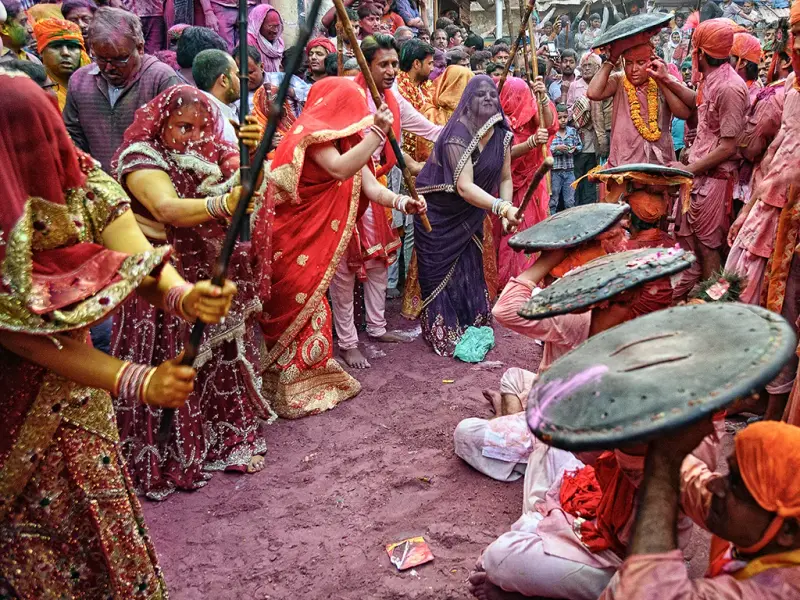
The sights are the war memorial and the Brigade War Gallery, which tell the story of the 1999 conflict, Manman Top with its view towards the Line of Control, and Tiger Hill. Buses between Srinagar and Kargil pass through Drass, usually leaving early in the morning, and the tourism page says anyone heading from Srinagar into Ladakh must sign in at the registration centre in Drass.
Kargil as a base
The district administration's page gives distances from Kargil: Leh airport is 275 km away, Srinagar airport 285 km and Jammu Tawi railway station about 500 km. Treat Kargil as a night stop and a place to buy supplies, rather than a destination of its own.
The Suru Valley, with numbers
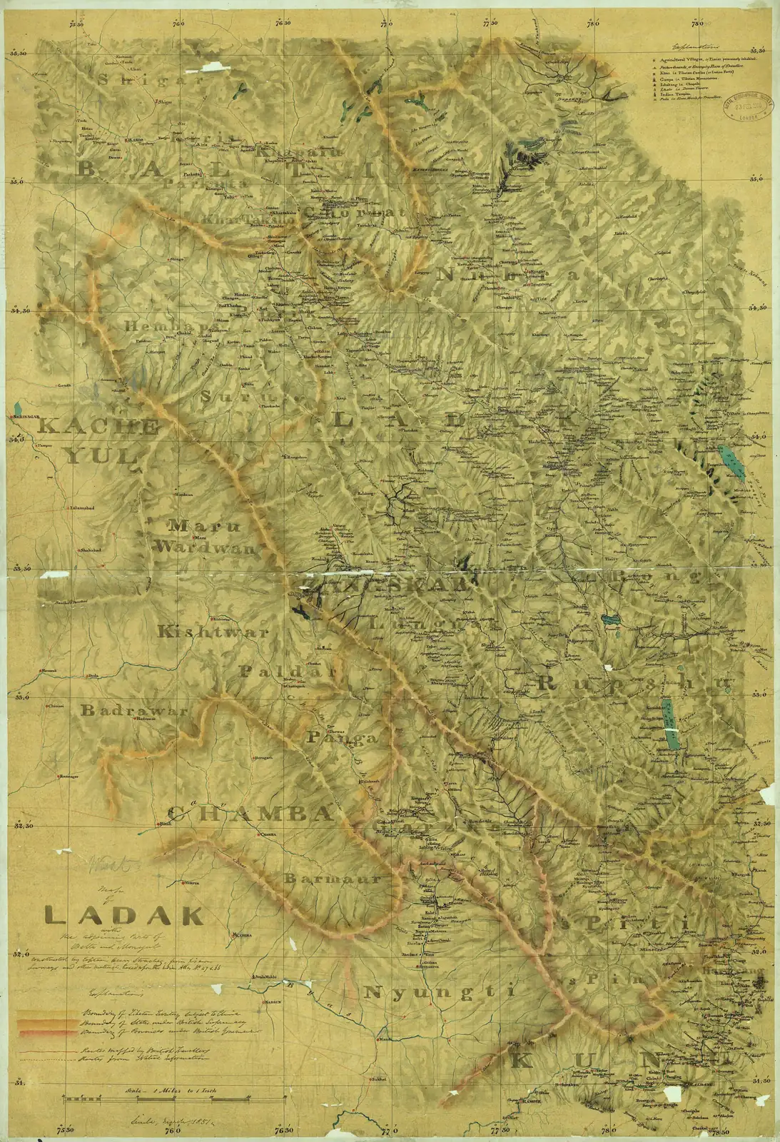
The Suru road runs along the river in a steady line, and the district page lists the stops by distance from Kargil. Sankoo is 40 km, Purtikchey 60 km, with a view of Nun peak at 7,135 m, and Damsna 65 km, a picnic spot with a fishery and the launch point for rafting. Panikhar, or Tai Suru, is 70 km, the base for mountaineering, climbing, rafting and trekking. Tangole is 77 km, the base camp for Nun-Kun expeditions, and Rangdum is 130 km, a camping site with an 18th-century monastery that serves as a base for trekking routes. Parkachik has a glacier you can reach for a picnic.
The page was last updated in 2018, so ask about road conditions before you set out.
Over Pensi La to Padum
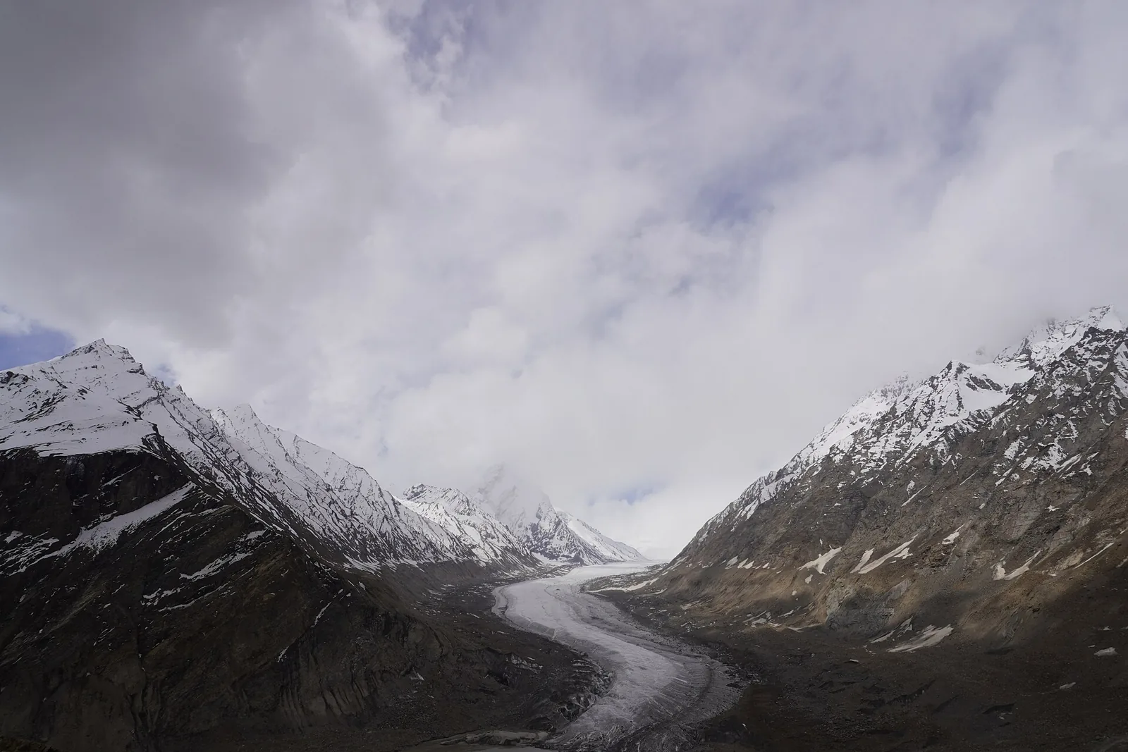
Beyond Rangdum, the first Buddhist village, the road climbs to Pensi La, called Penzila in the Outlook Traveller feature, at about 14,500 feet, where a chorten marks the top. Snow walls stand either side in early summer, and the road is a narrow furrow of brown between them. On the far side it levels out across the Zanskar plain to Padum.
The distance from Kargil to Padum is quoted as 200, 230 and 250 km in different places in the same feature, so plan on a full day of driving and break at Rangdum if you have your own vehicle. Drang Drung Glacier, the source of the Stod river, lies close to the pass.
Padum, Karsha and Zangla
Padum is the biggest settlement in the valley, and services are basic. The Outlook feature, describing an early-summer visit, found the mobile service down, electricity running only about three hours in the evening and most hotels still closed. Bring cash and expect to adapt.
Karsha Gompa is the largest monastery in Zanskar, and its oldest prayer hall, the chamba dukhang, holds a three-storey Maitreya image. Zangla, the ruined fort of the former Zanskar capital, stands above its village, and the Hungarian scholar Csoma de Koros worked there for a year in 1823. Pidmo has terraced barley and pea fields a short walk above the road, and a wooden suspension bridge crosses the Zanskar river's gorge near Zangla.
Where to sleep and what you eat
Homestays at Karsha are part of a circuit run with the Snow Leopard Conservancy, set up to give villagers income and reduce retaliatory killing of snow leopards. Rooms are simple and clean, with mountain views. The local food includes tagid tsurkur, a thick bread, lassi, chhang and tangtur, a spinach and curd dip.
Seasons and caution
The Outlook account describes early summer, when Pensi La had just opened after the winter and the snow was retreating to the peaks. Before you commit dates, ask local operators about the pass and the valley road, which can be affected by snow and landslides outside the main season.
Altitude applies here too: Pensi La and Zanskar are high, so read the acclimatisation guidance for Ladakh and keep your first nights modest.
Let Laladham run it
Laladham meets you in Delhi, at the airport, station, home or hotel, and plans the complete trip: flights to Srinagar, a driver for Zoji La and the river road to Rangdum, sensible night stops and a Zanskar leg with a realistic buffer. Ask for a quote on the [book page](/book).
Questions, answered
How far is Padum from Kargil?
Sources give between 200 and 250 km, so plan a long day and ask your driver about the current road.
When does Zoji La open?
Only in summer, once the winter snow has cleared.
Do I register anywhere on the way from Srinagar?
Yes, at the registration office in Drass.
How far is Rangdum from Kargil?
130 km along the Padum road, per the district administration.
What is at Padum?
The valley's biggest settlement, thin on services, and the base for Karsha and Zangla.
Is Zanskar suitable for a first Ladakh trip?
Usually not on its own. Acclimatise first and treat it as an add-on.