Incredible India, which calls the place by both names, Cherrapunjee and Sohra, treats it as a destination for waterfalls, caves and living root bridges more than for rainfall records. This guide follows that order and tells you which season changes the answer.
The rain, and what it has done to the land
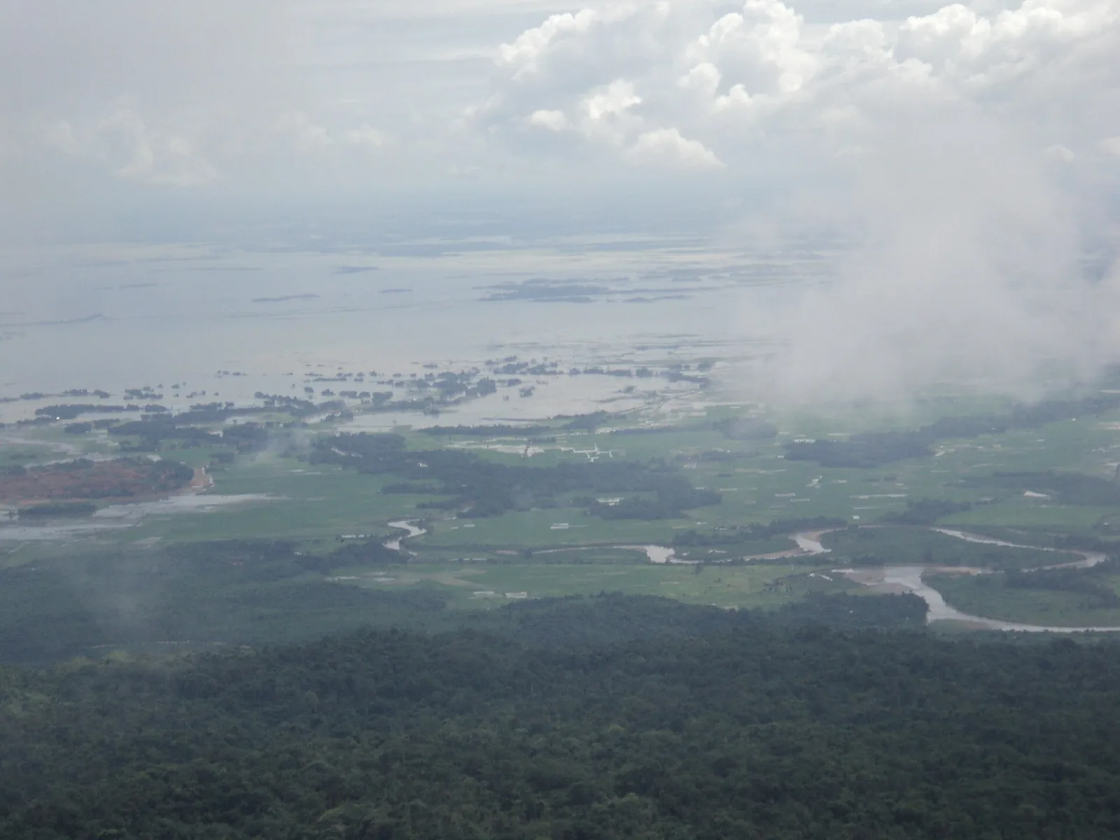
The BBC noted that the area once recorded more than 1,000 inches of rain in a single year, a global record, and that Meghalaya, the state name, means Home of the Clouds. A 2008 Indian Express feature put the average at over 11,000 mm a year between 1973 and 2006 and described the plateau as strangely bare: green and rocky, black boulders, few trees, with rain that arrives sideways on the wind.
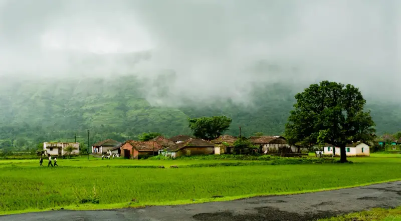
The same writers point out the irony. In winter, springs dry up and water is hauled up from the plains, because the monsoon runs off the plateau before it can sink in. The BBC reported in 2003 that pollution and deforestation were being blamed. So the town known for rain is not necessarily wet when you visit, and you should plan accordingly.
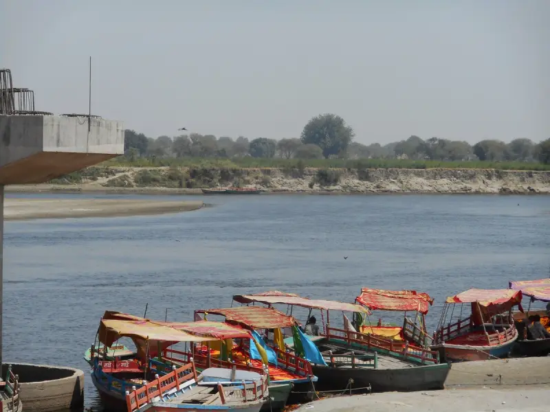
The living root bridges and the 3,500 steps
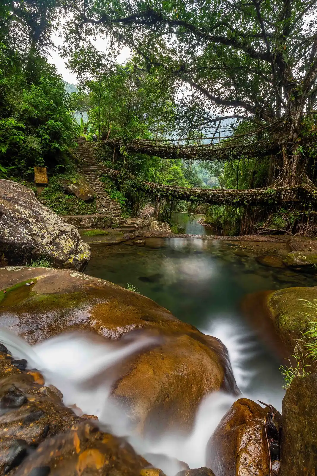
The Khasi built these bridges by guiding the aerial roots of rubber trees across streams. Incredible India says the elders began the work over 180 years ago by training roots through hollowed areca nut palm trunks until they twined strong enough to carry people. The two-tier bridge at Nongriat has two tiers because, the portal says, a river in spate once covered the first.
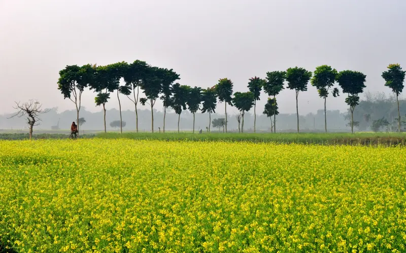
The trek starts at Tyrna village and drops about 3,500 steps through forest, crossing streams and smaller single-root bridges on the way. The portal says the round trip takes a whole day, and that a guest house in Nongriat lets you split it over two days. Be honest about your knees: going down is easy, coming up is the work. Start early and carry water.
Beyond Nongriat: Rainbow Falls and Riwai
A harder trail continues from that bridge to Rainbow Falls, which the portal pairs with a living root bridge. For a gentler day, it points to the single root bridge at Riwai village near Mawlynnong, a short walk through village paths. Pick one of the two, not all three.
Nohkalikai and Seven Sisters falls
Nohkalikai ranks among the tallest plunge waterfalls in India, and the water drops over a rock cliff into a pool surrounded by forest. In the monsoon it thunders. Seven Sisters Falls comes down in seven segments, said to match the seven northeastern states. The 2008 feature walked the Shella road to the Mawsmai caves and Seven Sisters, both about 6 km from Sohra.
The viewpoint at Nohkalikai has a sign and a railing, and when cloud is down the sign is the only thing you will see. Be patient and give the cloud a half hour to shift, and go in the cool months if you want the valley view.
Mawsmai Cave
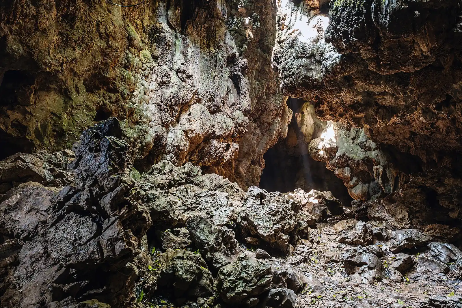
Mawsmai Cave sits near the Seven Sisters Falls, about 6 km from town per the Indian Express walk. It is the easy cave: a limestone passage with openings in the roof that let in light. Wear shoes that grip wet rock.
Culture, crafts and food
The town is Khasi, and the Indian Express writer notes that the Khasis make up around half the state's population and have a story for everything, including the standing stones on the hills. The portal names the Nongkrem Dance Festival, usually in October or November, as a five-day thanksgiving to the goddess Ka Blei Synshar. Bamboo and cane baskets, mats and furniture are the local craft.
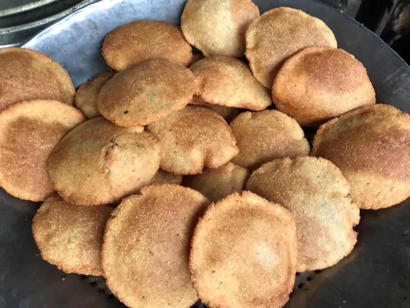
At the stalls around Sohra, look for putharo, rice cakes, and tungtap, a dry fish chutney. A proper meal brings jadoh, rice cooked with meat, and tung-rymbai, a fermented soybean dish.



When to go
The portal says winter, from November to February, is best, a relatively dry spell for waterfalls, root bridges and trekking. October and November also bring Nongkrem. If you want to see the falls at full roar you go in the monsoon, but the steps are wet, the cloud is thick and the trek is hardest.

Getting there, and Laladham for Cherrapunji
The town lies about 50 km from Shillong by road, and the portal lists Shillong and Guwahati airports as access points. Our [Shillong and Cherrapunji 3 day plan](/blog/shillong-cherrapunji-3-days) fits it into a short trip.
Laladham can plan this from Delhi: pickup from the airport, a station, your home or a hotel, flights to Guwahati, a driver for the climb to Sohra, and rooms in Sohra or Nongriat. Send your dates on the [booking page](/book) and ask for a quote.
Questions, answered
Is Cherrapunji the wettest place on earth?
It is called one of the wettest, alongside nearby Mawsynram, and the famous records are decades old.
How hard is the root bridge trek?
Hard enough for a full day. The steps down are easy on the lungs, the steps up are not.
What is the best month to visit?
The cooler dry months, with a festival bonus in autumn.
Can I sleep near the bridge?
Yes, there are village guest houses, which lets you walk at leisure.
How far is it from Shillong?
Roughly 50 km by road.