Radhe Radhe · By road
Gwalior to Mathura and Agra by road
About 120 km to Agra, 175 km to Mathura. Gwalior's NH-44 run north through Dholpur, and the Chambal country that makes this drive longer than the map suggests.
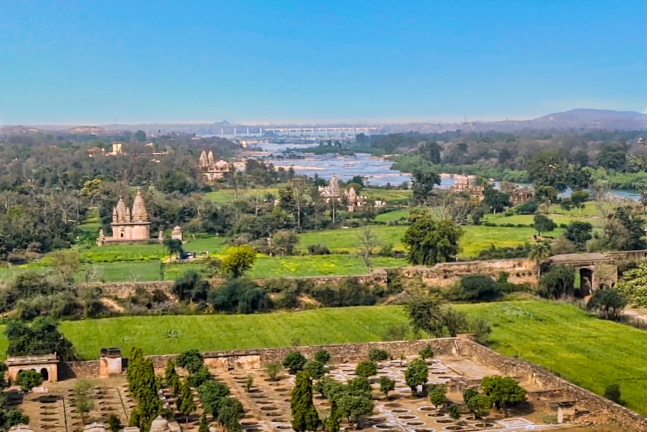
- DistanceAgra about 120 km, Mathura about 175 km
- Drive timeAgra 2.5 hours, Mathura 3.5 to 4 hours
- RoadNH-44 via Dholpur
- Best startLeave by 7 am
Gwalior to Agra is a short, quiet run north on NH-44 through Morena and Dholpur, about 118 to 120 km (travel sites), with the Rome2rio estimate near 1 hour 53 minutes and tour operators saying 2.5 to 3 hours. From Agra, Mathura is another hour.
For Mathura directly, sources put Gwalior at 172 to 176 km, with Rome2rio between 172 and 189 km and a cab site at 175 km and 3.5 hours. OSRM gave 175 km but chose a different route from the Agra one, through NH-123 and NH-321 to Bharatpur and then the Mathura road. Both are valid; Agra is the better choice if you want the Taj.
दो रास्ते Two routes, one decision
Via Agra, you follow NH-44 north to Dholpur, cross the Chambal and reach Agra, then take NH-19 to Mathura. It is the road most buses and cabs use and the one with services at every stage. Via Bharatpur, the engine's route cuts west over NH-123 and a state road to join NH-321, ends on the Bharatpur-Mathura road and skips the Agra approach entirely.
If your plan includes Agra or Fatehpur Sikri, go via Agra. If the plan is straight to Mathura, ask your driver which has been faster that week; both come out near 175 km.
The expressway that is not here yet
NHAI has long planned a six-lane Agra-Gwalior greenfield expressway, which would shorten this trip. Reports describe it as proposed or under development, so we do not rely on it. Check the current status before you assume a faster drive.
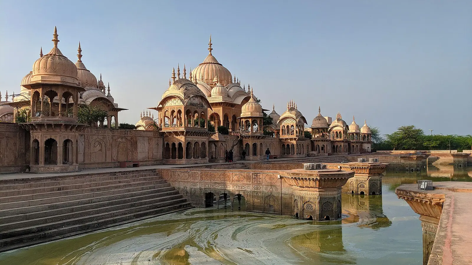
चंबल The Chambal stretch
The ravines of the Chambal valley once gave this region its reputation, and today they just make the horizon unusual. The road is straight, truck-heavy and quiet outside the towns. Drive in daylight.
Stops and food on the way
- Morena. Tea and fuel. Known for gajak sweets, especially in winter.
- Dholpur. The Rajasthan border town. The Chambal bridge is just beyond.
- Agra. Lunch and, if you can, an hour at the Fort or Taj before moving on.
- Mathura. Arrive for the late-afternoon darshan.
A sample day, hour by hour
- Leave Gwalior on NH-44.
- Tea at Morena or Dholpur.
- Agra: Fort or Taj, depending on the day.
- Lunch, then NH-19 to Mathura.
- Mathura. Vishram Ghat and Krishna Janmabhoomi.
- Vrindavan aarti.
If you would rather take the train
- Gwalior to Mathura trains Trains run hourly on some days.
- Gwalior to Agra trains A short ride on the main line.
- Mathura to Gwalior trains For the return.
Laladham picks you up in Delhi, at the airport, the station or your hotel door, and runs the whole trip: cab and driver, route plan, stays and darshan help. Book this drive
प्रश्न Questions, answered
How far is Agra from Gwalior by road?
About 118 to 120 km, and 2 to 3 hours.
How far is Mathura from Gwalior?
About 172 to 176 km; OSRM gave 175 km.
Is the Agra-Gwalior expressway open?
It has been planned for years and was described as proposed or in development in the sources we found. Check the current status.
Should I stop at Agra?
If you can, yes. It is on the way and makes the drive more rewarding.
Is Vrindavan farther?
About 12 to 15 km beyond Mathura.
How we checked: OSRM (119 km to Agra, 175 km to Mathura, with step breakdown NH-44, NH-123, NH-321); Rome2rio (118 km to Agra, 172 to 189 km to Mathura), cab sites (175 to 176 km), tour operators (2.5 to 3 hours). The expressway status comes from news and planning pages and may be out of date. Tolls not verified. Last checked 11 November 2026.